
What is recorded here
Two chambered entrances, roughly ten metres apart, still mark the collapsed underground passages in County Cork. Hartnett recorded them in 1939 as excavated in the sub-soil but internally destroyed, leaving openings visible yet impossible to examine. The chambers may have stored goods, hidden people or served a forgotten local purpose, but their collapse removed the evidence that would have answered the question.
Two entrances to Man-made underground passages (c. 10m apart) recorded by Hartnett (1939, 108), who noted that chambers are 'excavated in the sub-soil and have collapsed internally thus making them impossible to examine'. Openings still visible; inaccessible.
The above description is derived from the published 'Archaeological Inventory of County Cork. Volume 3: Mid Cork' (Dublin: Stationery Office, 1997). In certain instances the entries have been revised and updated in the light of recent research.
Date of upload/revision: 14 January 2009
The monument record does not grant public access. Check the route and ask the landowner before entering private land.
- What survives
- Recorded monument
Places near here
 Ummera WoodWood · 585 yd
 Ancient Burial (Site of)Cist · 1011 yd
 DolmenWedge tomb · 1248 yd
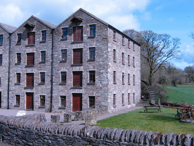 Bealick Millmill (water) · 1752 yd
 Laney Bridgebridge · 1756 yd
 Mashanaglass Castle (in Ruins)Castle, tower house · 1.5 mi
 Battle of Macroombattle · 1.7 mi
 Macroom Castle (in Ruins)Castle, tower house · 1.9 mi
 Macroom WalksVisitor information · 1.9 mi
 Black WoodWood · 2.0 mi
 Clonavrick CliffCliff · 3.3 mi
 BurrenMountain / peak · 3.6 mi
Other information
Photo: Credit not shown in the picture search · Rights wording not checked; contact us if this picture should be removed