
What is recorded here
Half a metre long, forty centimetres wide and just deep enough to hold one body, the cist fit a woman so exactly that she may have been measured before death. Windle found her bones beside an encrusted urn and a red-brown food vessel, while O'Kelly later recovered further fragments and a small quantity of finely comminuted cremated bone. The herring-bone marks on both pots suggest a familiar hand, perhaps one that made vessels for several burials. After excavation the cist was rebuilt slightly forward of its original place, pulling the woman out of anonymity and giving her back a shape that can still be imagined.
Shown only on 1938 OS 6-inch map as 'Ancient Burial (site of)'. Examined by Windle (1912, 169-72), who found small stone-lined grave containing fragments of encrusted urn, food vessel and human bones. Excavation by O'Kelly (1944, 116-21) revealed rectangular stone-lined cist (L c. 0.5m; Wth c. 0.4m; D c. 0.43m), covered by flat slab (c. 0.91m square); floor unpaved. Contents of cist re-examined by O'Kelly and further fragments of urn and food vessel recovered as well as 'a small quantity of finely comminuted' cremated bone (ibid., 118). Encrusted urn (H 0.27m; diam. base 0.10m; rim 0.31m) 'of the usual encrusted type - narrow bands of clay applied to the surface of the finished pot before firing. The encrustations are decorated with incised lines to give a herring-bone effect; inside the rim is also decorated. About one third of food vessel recovered (H c. 0.12m); mainly red-brown in colour and decorated with bands of 'oblique lightly-scored lines arranged in a broad herring-bone pattern'; the rim is decorated internally also. Windle's examination of the bones suggested that 'the interment was that of a female'. Following excavation, cist was reconstucted above ground slightly forward of its original position, where covering slab can still be seen.
The above description is derived from the published 'Archaeological Inventory of County Cork. Volume 3: Mid Cork' (Dublin: Stationery Office, 1997). In certain instances the entries have been revised and updated in the light of recent research.
Date of upload/revision: 14 January 2009
A Neolithic burial site, dating to approximately 4000–2500 BCE, significant for its stone-lined grave and the presence of funerary urns and human remains, indicating early ceremonial burial practices.
The monument record does not grant public access. Check the route and ask the landowner before entering private land.
- What survives
- Recorded monument
Places near here
 Ummera WoodWood · 451 yd
 DolmenWedge tomb · 830 yd
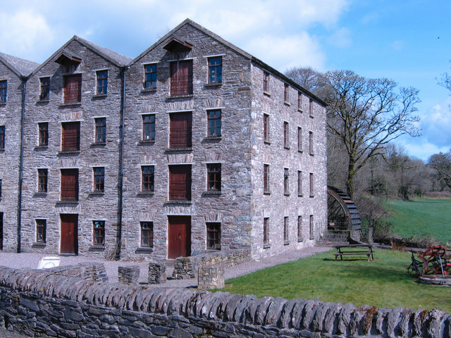 Bealick Millmill (water) · 917 yd
 Bealick Mill (Corn)Mill, corn · 921 yd
 Man-made underground passagesMan-made underground passage · 1011 yd
 Battle of Macroombattle · 1.1 mi
 Macroom Castle (in Ruins)Castle, tower house · 1.3 mi
 Macroom WalksVisitor information · 1.4 mi
 Mashanaglass Castle (in Ruins)Castle, tower house · 1.8 mi
 Black WoodWood · 2.3 mi
 Clonavrick CliffCliff · 3.0 mi
 Priest MemorialMemorial · 4.7 mi
Other information
Photo: Credit not shown in the picture search · Rights wording not checked; contact us if this picture should be removed