What is recorded here
The following description is derived from both the published 'Archaeological Inventory of County Louth' (Dublin: Stationery Office, 1986) and the 'Archaeological Survey of County Louth' (Dublin: Stationery Office, 1991). In certain instances the entries have been revised and updated in the light of recent research.
Date of upload/revision: 26 May 2010
Drystone-built Man-made underground passage, roughly T-shaped in plan, consisting of three passages and two beehive chambers. Passage 1 (L 8m, Wth 0.9m, H 1m) curves gently SE-N, ending in a beehive chamber (diam. 2m, H 1.5m) at the N. Passage 2 (L 2.3m, Wth 0.8m, H 0.7m) extends W from the middle of the E wall of the first passage and terminates in a second beehive chamber (diam. 2.5m, H 1.5m). A short section of Passage 3 (L 1.3m) extends ESE from the second chamber and terminates at a squared drystone-built wall. The SE end of Passage 1 is blocked by fill, which suggests that the original entrance is close to this point. (CLAJ 1978, 128)
Aerial photograph (GB90.BY.17) shows cropmark of a curvilinear enclosure defined by a fosse (see LH021-045----).
The monument record does not grant public access. Check the route and ask the landowner before entering private land.
- What survives
- Recorded monument
Places near here
 Enclosure in TermonfeckinEnclosure · 46 yd
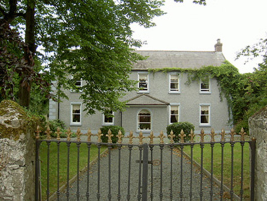 Highfield Housefarm house · 777 yd
 Sunnyside Househouse · 805 yd
 Castle (Site of)Castle, tower house · 837 yd
 Ecclesiastical site in TermonfeckinEcclesiastical site · 865 yd
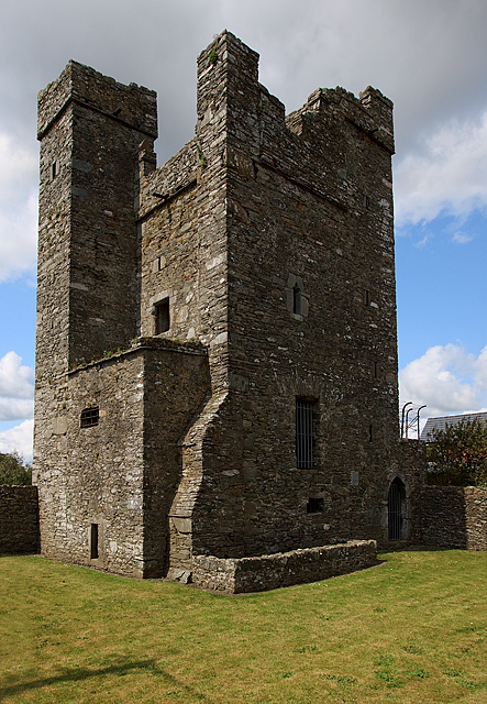 CastleCastle, tower house · 1201 yd
 Beaulieu House and GardensHeritage attraction · 2.5 mi
 Chapel (in Ruins), GraveyardChurch · 3.5 mi
 MonasterboiceEarly monastic site · 5.6 mi
 Newgrange Business ParkMemorial · 5.6 mi
 Yellow IslandIslet · 5.7 mi
 Grove IslandIslet · 5.9 mi