
What is recorded here
Aerial photograph (GB90.BY.17) shows cropmark of a curvilinear enclosure defined by a fosse; adjacent cropmark may represent an outer fosse or associated field boundary. The enclosure coincides with a previously recorded Man-made underground passage (LH022-021----). It is plough-levelled. First recorded as a positive cropmark in July 1990.
Compiled by: Dr Gillian Barrett for the Archaeological Survey of Ireland
Date of upload: 26 May 2010
The monument record does not grant public access. Check the route and ask the landowner before entering private land.
- What survives
- Recorded monument
Places near here
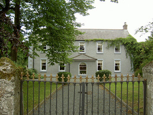 Highfield Housefarm house · 795 yd
 Sunnyside Househouse · 813 yd
 Castle (Site of)Castle, tower house · 839 yd
 Ecclesiastical site in TermonfeckinEcclesiastical site · 866 yd
 St. Feighins WellHoly well · 922 yd
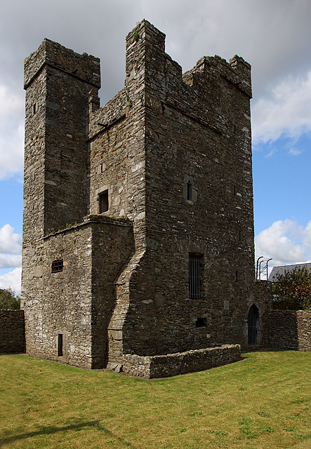 CastleCastle, tower house · 1212 yd
 Beaulieu House and GardensHeritage attraction · 2.5 mi
 Chapel (in Ruins), GraveyardChurch · 3.6 mi
 MonasterboiceEarly monastic site · 5.6 mi
 Newgrange Business ParkMemorial · 5.6 mi
 Yellow IslandIslet · 5.7 mi
 Grove IslandIslet · 5.9 mi
Other information
Photo: Credit not shown in the picture search · Rights wording not checked; contact us if this picture should be removed