What is recorded here
Situated in a col between the Hill of Slane to the NW and the lower Gallows Hill, the summit of which is c. 100m to the SE. There were reports that a Man-made underground passage had fallen in at Slane village c. 1910 (SMR file), but its precise location is not known within c. 100m and no description is available. Archaeological testing (15E0108) by C. Brady in the area immediately to the SW produced no evidence of a Man-made underground passage but three small fire-spots (dims c. 0.25-0.6m) were noted (excavations.ie 2015:030).
The above description is derived from the published 'Archaeological Inventory of County Meath' (Dublin: Stationery Office, 1987). In certain instances the entries have been revised and updated in the light of recent research.
Compiled by: Michael Moore
Date of upload: 10 July 2007
Amended: 27 January 2021
The monument record does not grant public access. Check the route and ask the landowner before entering private land.
- What survives
- Recorded monument
Places near here
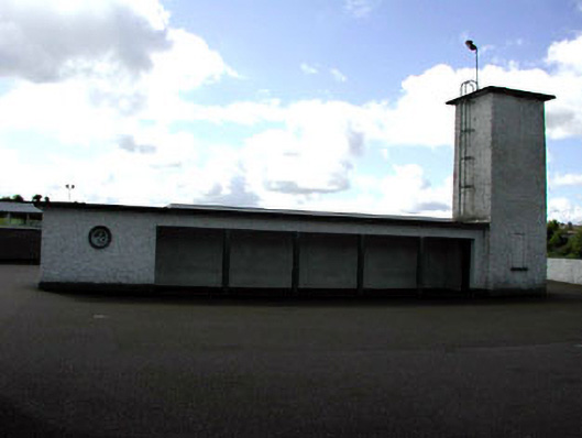 Saint Patrick's National Schoolwater tower · 85 yd
 Enclosure in SlaneEnclosure · 313 yd
 CrossCross, High cross (present location) · 406 yd
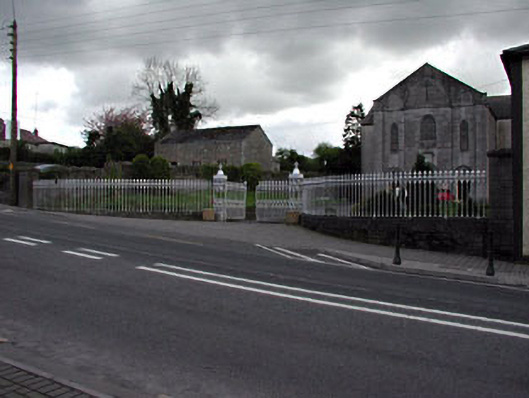 Saint Patrick's Catholic Churchgates/railings/walls · 423 yd
 Mountcharles ClumpWood · 542 yd
 Pat's Art StudioGallery · 622 yd
 Vaughey's WoodWood · 744 yd
 MoatCastle, motte · 810 yd
 RiverviewMemorial · 905 yd
 Fennor CastleCastle · 1544 yd
 KnowthArchaeological place · 2.0 mi
 Brú na Bóinne Visitors CentreVisitor information · 3.8 mi