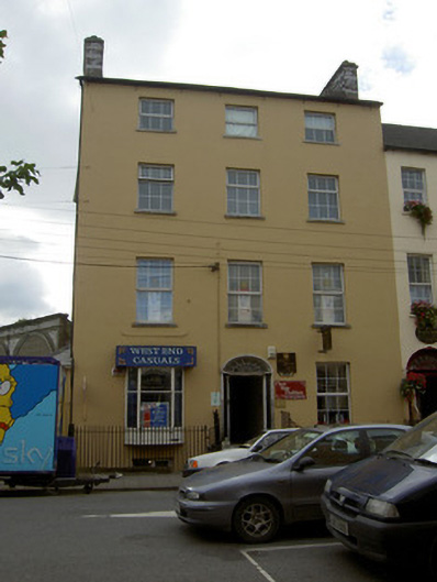
What is recorded here
Attached three-bay four-storey over half-basement former house, built c. 1820, with double-pile gabled single-bay three-storey returns to rear and having canted window to ground floor of front elevation. Formerly also in use as post office, now in use as shops. Pitched slate roof with rubble limestone chimneystacks and cast-iron rainwater goods. Painted rendered walls, except for exposed upper west gable which is rubble limestone. Square-headed openings with replacement uPVC windows and cut limestone sills. Fixed timber windows to canted window. Elliptical-headed door opening with timber surround and doorcase comprising flanking timber engaged columns with plinths, timber architrave and cornice with elaborate cobweb fanlight. Door to interior of hall echoes main entrance door, but for pilasters an simpler fanlight. Approached by flight of splaying cut limestone steps with cast-iron railings. Concrete steps to basement with square-headed opening and replacement uPVC door. Cast-iron boundary railings to front with cut limestone plinths.
This building occupies a prominent site, next to the green space to the front of the Roman Catholic church and is notable for formerly housing its first post office. Its tall form is suited to such a site and is emphasized by the diminishing windows, features characteristic of buildings of this era. The doorcase is well executed and provides a central focal point for the structure as well as adding artistic interest to the façade. The setting is enhanced by the boundary railings and cut limestone steps.
This does not grant access. Most recorded buildings are privately owned; view them only from public ground unless the owner allows entry.
Places near here
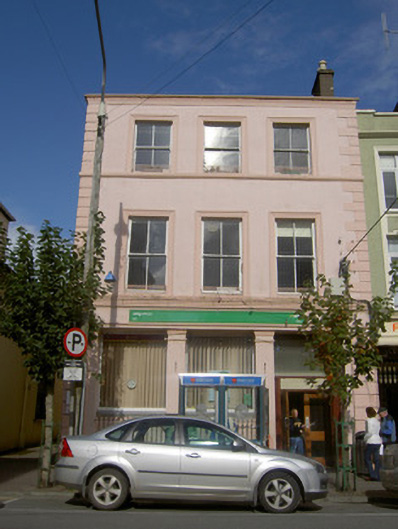 Mallow Post Officehouse · 30 yd
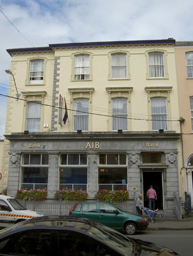 Allied Irish Bankhouse · 33 yd
 Castle (Site of )Castle, unclassified · 264 yd
 Grave YardGraveyard · 298 yd
 Site of R C ChapelChurch · 315 yd
 Mallow Castle (in Ruins)House, fortified house · 600 yd
 In loving memory of Elvis O'DonoghueMemorial · 985 yd
 Mallow River TrailVisitor information · 1044 yd
 Mallow Town Park - Maple WoodsForest · 1261 yd
 Lover' LeapCliff · 1719 yd
 Lover's LeapCliff · 1.1 mi
 Blackwater WayWalking route · 1.1 mi
Other information
Photo: National Inventory of Architectural Heritage · Website use allowed for educational or private purposes with source credit