
What is recorded here
Mallow holds a roofless rectangular stone chamber, seven metres deep and fourteen wide, that maps once called a ruined chapel but later admitted as a lime kiln. The false church label may have stuck because people wanted a sacred story for an ordinary industrial scar. Heat and hunger for building material, not prayer, likely shaped the site.
In Mallow. Indicated on 1842 OS 6-inch map as ruined cruciform structure named "site of R. C. Chapel". Roofless rectangular stone-built structure on site (7m N-S; 13.7m E-W); interior inaccessible. This is indicated on OS 25 inch map (1935) as a lime kiln. (Zajac 1995, 74-5)
See Excavations 2002, 84. This confirms that the structure mentioned in the summary description above is a large limekiln but makes no comment on the site of the RC chapel other than to state the cartographic evidence mentioned in the summary entry.
The above description is derived from the published 'Archaeological Inventory of County Cork. Volume 4: North Cork' (Dublin: Stationery Office, 2000). In certain instances the entries have been revised and updated in the light of recent research.
Date of upload/revision: 14 January 2009
The monument record does not grant public access. Check the route and ask the landowner before entering private land.
- What survives
- Recorded monument
Places near here
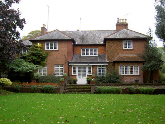 The Red Househouse · 92 yd
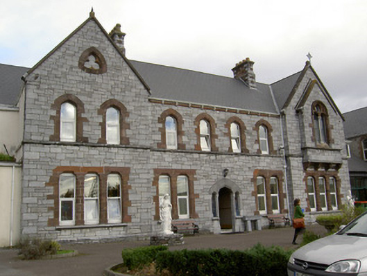 Patrician Academyschool · 171 yd
 Castle (Site of )Castle, unclassified · 183 yd
 Grave YardGraveyard · 595 yd
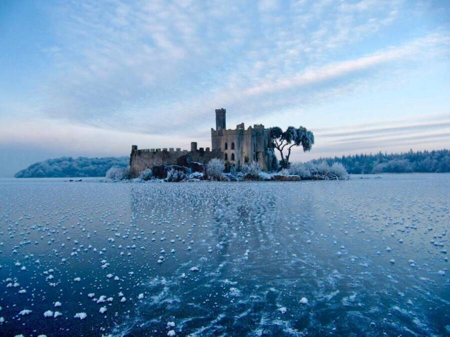 Ice HoIcehouse · 795 yd
 Mallow Castle HouseCastle · 871 yd
 In loving memory of Elvis O'DonoghueMemorial · 1100 yd
 Mallow River TrailVisitor information · 1185 yd
 Mallow Town Park - Maple WoodsForest · 1476 yd
 Lover' LeapCliff · 1.1 mi
 Lover's LeapCliff · 1.2 mi
 Blackwater WayWalking route · 1.2 mi
Other information
Photo: Credit not shown in the picture search · Rights wording not checked; contact us if this picture should be removed