What is recorded here
Fairy fort / earthen ringfort in Mahonstown is a fairy fort or earthen ringfort in Mahonstown, County Westmeath, Ireland. The 1971 and 1977 descriptions record a roughly circular area measuring 28 metres north-south and 27 metres east-west that is enclosed by a bank, while noting that there is no visible trace of an external fosse. The bank was described as almost reduced to a scarp from the east through southeast and quarried from the northeast, with the original entrance not recognisable.
Situated on a slight rise, in gently undulating pasture, with good views to SE, S and W. Mahonstown House 65m to NW. Depicted on the revised 1913 ed. OS 25-inch map as a subcircular-shaped tree-planted earthwork. Monument described in 1971 and 1977 as a roughly circular-shaped area (dims. 28m N-S and 27m E-W) enclosed by a bank. There is no visible trace of an external fosse. The bank is almost reduced to a scarp from E-SE and has been quarried from N-E. The original entrance is not recognisable. The interior has a S-facing slope with an uneven surface including slight depressions which may be the result of uprooted tree stumps. A field boundary running N-S abuts the W side of the monument.
Compiled by Alison McQueen, Vera Rahilly and Caimin O’Brien.
Date of upload: 04 November 2019
This remains an important historical record, but the official description says the monument is no longer visible or has been destroyed. The monument record does not grant public access. Check the route and ask the landowner before entering private land.
- What survives
- No visible remains or recorded as destroyed
Places near here
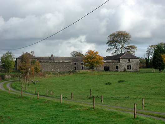 Gaybrook Housefarmyard complex · 1234 yd
 Bawn in Simonstown (fartullagh By.)Bawn · 1535 yd
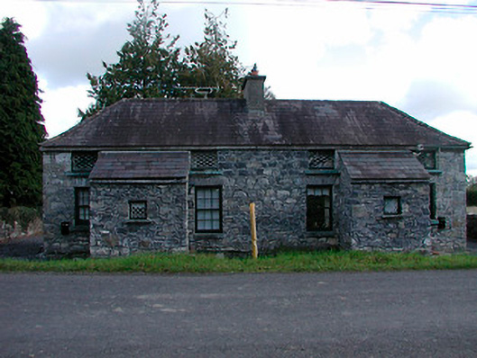 worker's houseworker's house · 1569 yd
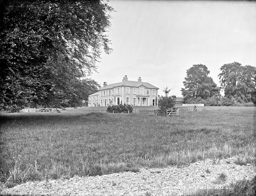 Partially indicatedEnclosure · 1.2 mi
 Fulacht fia in Corbally (fartullagh By.)Fulacht fia · 1.2 mi
 Castle in RuinsCastle, tower house · 1.4 mi
 Dysart IslandIsland · 4.7 mi
 Ash IslandIslet · 4.8 mi
 Derrygreenagh HillMountain / peak · 4.9 mi
 The Chimera GalleryGallery · 5.1 mi
 Famine MemorialMemorial · 5.1 mi
 Knockdrin HillMountain / peak · 5.6 mi