
What is recorded here
Indicated is a fairy fort or earthen ringfort in Lustia, County Roscommon, Ireland. It occupies the crest of an east-facing drumlin slope as a subcircular platform measuring twenty-seven metres east-west and twenty-three point seven metres north-south. A low scarp rises from zero point five to zero point nine metres around the edge, but no fosse or entrance remains visible. The surrounding coniferous forest has been cleared, and the area is now excluded from re-planting.
At the crest of the E-facing slope of a small drumlin. Subcircular platform (dims 27 E-W; 23.7m N-S) in a mature coniferous forest defined by a scarp (H 0.5m at W to 0.9m at N). There is no visible fosse or entrance. The forest is now cut and the area is excluded from the re-planting (Bing c. 2013).
Compiled by: Michael Moore
Date of upload: 27 May 2013
The monument record does not grant public access. Check the route and ask the landowner before entering private land.
- What survives
- Recorded monument
Places near here
 Site of ChurchChurch · 189 yd
 Battle of Áth an Chipbattle · 726 yd
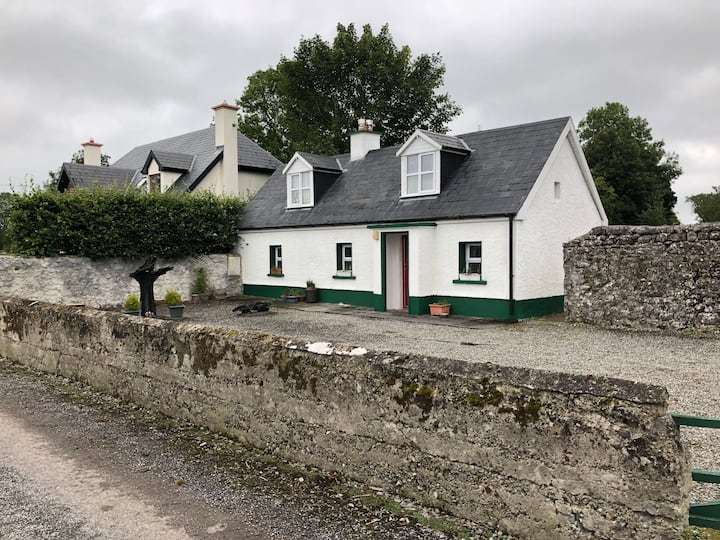 Embanked enclosureEnclosure · 891 yd
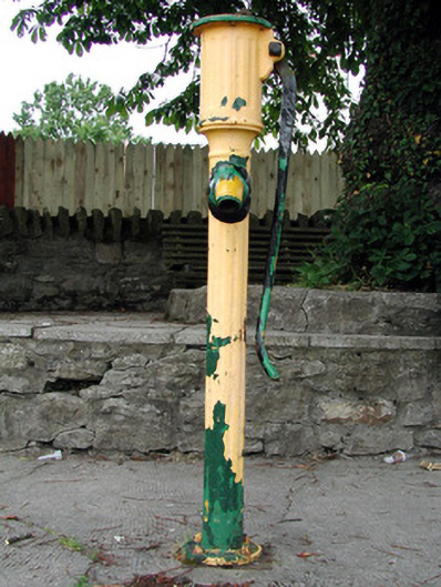 water pumpwater pump · 1560 yd
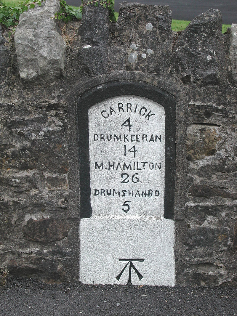 milestone/milepostmilestone/milepost · 1578 yd
 Sit of Breifny CastleCastle, tower house · 1662 yd
 Shannon-Erne WaterwayVisitor information · 1683 yd
 PortCastle, unclassified · 1.1 mi
 InishnagonIsland · 1.2 mi
 Leabaidh DermotCave · 2.8 mi
 Derreenargan WoodWood · 3.0 mi
 Sheemore Ambush MemorialMonument · 3.1 mi
Other information
Photo: Credit not shown in the picture search · Rights wording not checked; contact us if this picture should be removed