What is recorded here
In pasture, located on a rise in an area of gently undulating grassland. There is a river c. 250m to E. A farmyard is located immediately to E.
Substantially raised, oval flat-topped platform (32m NNW–SSE; 26m WSW–ENE) defined by an earthen scarp (H 3m). The platform utilises a natural sandy/gravelly rise. The interior is bisected roughly centrally by an E–W post and wire property boundary. According to local tradition, a shallow irregular-shaped hollow in the S half marks the location of a Man-made underground passage (MA063-044001-).
Interior largely grass-covered; perimeter thickly ringed with gorse, hawthorn and hazel. An E–W farm track lies immediately to N of the rath.
Compiled by: Jane O’Shaughnessy
Date of upload: 2 October 2020
The monument record does not grant public access. Check the route and ask the landowner before entering private land.
- What survives
- Recorded monument
Places near here
 ToberarraghtHoly well · 284 yd
 IndicatedFairy fort / earthen ringfort · 290 yd
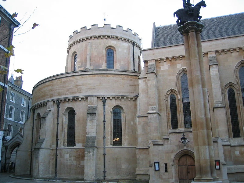 Church in TempleChurch · 519 yd
 Tavneena Househouse · 1.6 mi
 Old Cave Burial GroundArchaeological place · 5.6 mi
 East Mayo Brigade MonumentMemorial · 5.7 mi
 Rath Castle in ruinsCastle, tower house · 6.5 mi
 Bockagh HillMountain / peak · 7.4 mi
 Casatle (ruins)Castle, unclassified · 8.0 mi
 Thorn CaveCave · 8.1 mi
 Kiltimagh MuseumMuseum · 10 mi
 I'll Send You The FareMemorial · 10 mi