What is recorded here
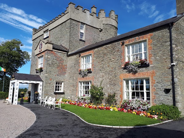
Darver Castle is a four-storey stone fortress in County Louth that has remained occupied since the 12th century, when Patrick Babe received the land from King Henry II. The building replaced earlier wooden defenses around 1432, using thick limestone walls and angular towers to watch the rivers below. It has served as a military outpost, a family home and now a hotel, carrying the same oakwood landscape through every change of purpose.
Darver Castle is recorded as a castle in County Louth. Its open map record supplies this location and any linked names or public references.
Darver Castle was built in the 17th century by the Darby family, an influential local Anglo-Irish landowning family. It is remembered as a historic family seat and an example of early Irish country house architecture.
Places near here
 Cave (Site of)Man-made underground passage · 60 yd
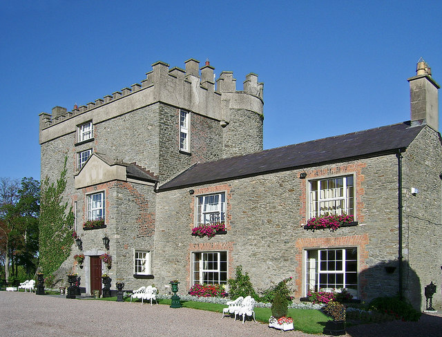 Bawn in DarverBawn · 115 yd
 IndicatedGatehouse · 138 yd
 Church (in ruins)Church · 176 yd
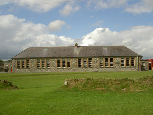 Darver National Schoolschool · 597 yd
 CastleCastle, tower house · 1477 yd
 Rabbit BurrowWood · 1.9 mi
:no_upscale()/cdn.vox-cdn.com/uploads/chorus_asset/file/25593391/County_Louth_6th.jpg) LouthMountain / peak · 3.0 mi
LouthMountain / peak · 3.0 mi Long WoodForest · 3.2 mi
 Drummeenagh HillMountain / peak · 3.3 mi
 Graveyard in Richardstown (ardee By., Richardstown Par.)Graveyard · 5.0 mi
 Graveyard in StickillinGraveyard · 5.2 mi
Other information
Photo: Credit not shown · Licence wording not shown