What is recorded here
Linear earthwork in Loughill is a 70-metre curving ridge and ditch in wet Kilkenny ground, misread as a road because marsh country resists clear judgement. It may be a terrace, a drain, or a boundary drawn by people who understood water better than modern surveyors. The nearby claim of ecclesiastical remains adds mystery rather than proof, leaving the ridge free to be several things at once.
In an area of wet, marshy terrain, with ground sloping generally to the W towards a stream which flows northward into the Owenbeg River. Identified on an aerial photograph (GSI 1973-7, roll 43:4) as a roadway. On field inspection this feature is not convincing as a roadway but appears as a terrace with perhaps drainage along the base of the slope. There is a slightly curving linear earthwork (L c. 70m) running NE-SW from the S end of the feature originally identified which resembles a hollow-way in that it has a central depression with a bank on either side but its function is unclear. The ground in this field is very undulating, with a lot of earthworks (KK001-004009-), some of which can probably be attributed to drainage works, though others may relate to ecclesiastical remains (KK001-004004-), of which there is a strong tradition.
Compiled by: Jean Farrelly
Date of upload: 31 May 2016
The monument record does not grant public access. Check the route and ask the landowner before entering private land.
- What survives
- Recorded monument
Places near here
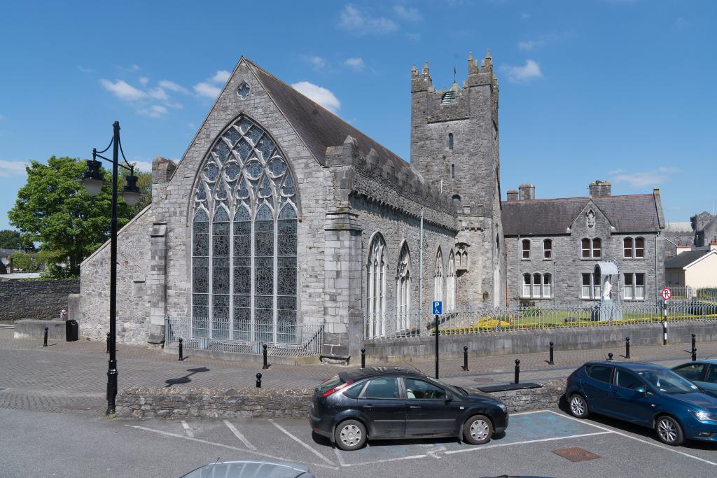 Abbey (in ruins)Religious house, unclassified · 101 yd
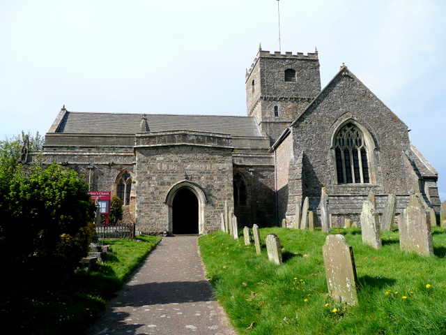 St. Chaddens Church (in ruins)Church · 168 yd
 Enclosure in Ironmills OR KilrushEnclosure · 1730 yd
 Enclosure in CloghogeEnclosure · 1.1 mi
 (Site of) CastleCastle, unclassified · 1.3 mi
 1798 MonumentMemorial · 1.4 mi
 AskuarWood · 1.6 mi
 Common LimeCommon Lime · 1.7 mi
 Moat Castle in ruinsCastle, unclassified · 1.9 mi
 Heywood GardensHeritage attraction · 1.9 mi
 Graveyard in SraleaghGraveyard · 3.8 mi
 Anker's IslandIsland · 4.0 mi