What is recorded here
Leagaun is a tall limestone slab set into a hedgerow beside the Lough Gur crossroads, marking one point on an ancient north-north-west track that still appears as a shallow ridge in ploughed fields. It stands half-hidden by grass and boundary stones, yet its clean edge and stubborn alignment suggest it was placed there to be seen by travellers moving between towns and baronies. The stone may have guided carts, herds or fleeing people through open country, giving a straight line to follow when the land itself offered no mark.
National Monument No. 247. Standing stone marked N on 1912 map of Lough Gur (Windle 1912, 306). Described by Windle as following; 'At Lough Gur Cross there is a tabular limestone gallaun, the long axis of which bears 200°. It is 6 feet [1.8m] in height, 6 feet 9 inches [2.05m] in width at the base, and 5 feet 3 inches [1.6m] at the upper part. It is 1 foot 9 inches [0.53m] thick at the base and 1 foot [0.3m] thick at the top. As it lies in a garden at the back of a house, it is not possible to correlate it with any horizon-bearings' (ibid., 302). O'Kelly (1944, 29) considered this standing stone as one of five standing stones (LI032-049-/050-/051-) which marked the line or routeway of an ancient road running through Lough Gur (O'Kelly 1942, 87). This ancient road was described by O'Kelly (1942, 87) as 'one which runs from Lough Gur Cross, approximately in a straight line, and in a north-north-west direction till it crosses the barony boundary. It is continued for some distance through the next barony, that of Clanwilliam, on the north of Small County. The track is only visible as such for a short distance in the townland of Ballingoola (Cahercorney Ph.) where it consists of a slight ridge which is marked by three standing stones [LI023-115/072-/-116-/073-/074-/075-/116-] fairly widely separated from one another. When the track ran across a freshly ploughed field in this townland, the plough had turned up much of the road surface which as of broken limestone. Elsewhere the track is shown by a total of twelve standing stones, nine in Small County and three in Clanwilliam'.
Present remains consists of a roughly rectangular shaped stone (dims. 1.2m H x 1.88m Wth x 0.3m T) with its long axis aligned N-S which has been incorporated into W facing hedgerow/field boundary beside Lough Gur crossroads and adjacent to a water pump. A poorly preserved slate National Monument sign encased in concrete stands a few meters W of the standing stone.
Compiled by: Caimin O'Brien
Date of upload: 25 September 2018
The monument record does not grant public access. Check the route and ask the landowner before entering private land.
- What survives
- Recorded monument
Places near here
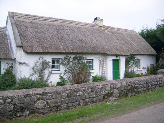 Maura's Cottagehouse · 71 yd
 Megalithic structure in LoughgurMegalithic structure · 101 yd
 Settlement cluster in LoughgurSettlement cluster · 348 yd
 RoadRoad, road/trackway · 447 yd
 Black Castle (in ruins)Castle, tower house · 1063 yd
 Pedunculate OakPedunculate Oak · 1200 yd
 Lough Gur Heritage CentreVisitor information · 1360 yd
 The SpectaclesVisitor information · 1488 yd
 Garret IslandCastle, unclassified · 1.0 mi
 Grange Stone CircleArchaeological place · 1.4 mi
 Lough GurVisitor information · 1.4 mi
 Glen BogForest · 1.6 mi