What is recorded here
Hoeys Rocks is a crannog in Lough Key, County Roscommon, Ireland. It sits on the northeast shore about 130m from land at the entrance to a bay. The oval area measures 26.5m east-west and 17m north-south, rising 0.6m above the water. Earth and stone form the site, but no evidence shows artificial construction.
On the NE shore of the triangular Lough Key, about 130m from the shore and at the entrance to a bay (dims c. 560m NE-SW; c. 350m NW-SE) which lies to the NE. Oval overgrown area (dims 26.5m E-W; 17m N-S; H 0.6m) composed of earth and stone but with no evidence of arteficial construction. Crannog (RO006-0200----) is c. 50m to the S.
Compiled by: Michael Moore
Date of upload: 24 August 2010
The monument record does not grant public access. Check the route and ask the landowner before entering private land.
- What survives
- Recorded monument
Places near here
 Smutternagh WoodWood · 287 yd
 Ash IslandsIslet · 372 yd
 Lahan IslandIslet · 748 yd
 Concentric enclosure in SmutternaghConcentric enclosure · 909 yd
 indicatedFairy fort / earthen ringfort · 956 yd
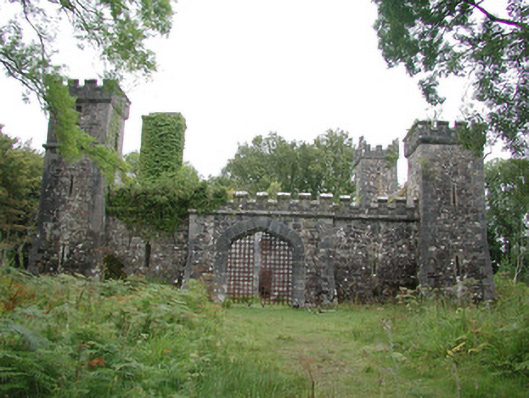 Cloontykilla Castlehunting/fishing lodge · 1199 yd
 Errironagh WoodForest · 1.1 mi
 Inchmacnerin Abbey (in Ruins)Religious house, Augustinian canons · 1.4 mi
 Longford HillMountain / peak · 1.7 mi
 Erris BayBay · 2.0 mi
 Lough Key Forest ParkWood · 2.0 mi
 MoatCastle, motte · 3.2 mi