What is recorded here
Barrow is a barrow (ring-barrow) in Losset (Toem parish), County Tipperary, Ireland. It occupies reclaimed upland pasture as a circular enclosure about 15 metres across, defined by a ditch and a possible outer bank. A mound barrow stands about 560 metres to the northwest, another ring-barrow is 1 kilometre to the east, and a standing stone is about 960 metres to the northeast.
In reclaimed upland pasture. A circular enclosure (overall diam. c. 15m), defined by a fosse and a possible outer bank, visible on satellite imagery (Google Earth satellite imagery, 20 January 2020), identified and reported by Jean-Charles Caillère. There is a mound barrow (TS045-006----) c. 560m to the NW and within the Losset townland there is a ring-barrow (TS045-010----) 1km to the E and a standing stone (TS045-002----) c. 960m to the NE.
See attached:
TS045-028----_01 Google Earth image (imagery date 20 January 2020)
Compiled by: Jean Farrelly
Date of upload: 7 January 2022
A Neolithic ring-barrow; its significance lies in its potential to provide insights into early burial practices and land use in upland areas.
The monument record does not grant public access. Check the route and ask the landowner before entering private land.
- What survives
- Recorded monument
Places near here
 TooreenMountain / peak · 1557 yd
 Partially indicatedEnclosure · 1.1 mi
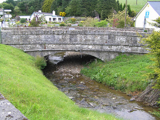 Hollyford Bridgebridge · 1.2 mi
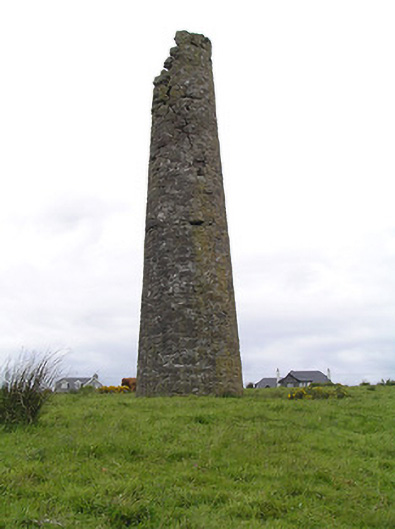 Hollyford Copper Mineschimney · 1.5 mi
 LackenacreenaMountain / peak · 2.2 mi
 Hut site in CurraghmarkyHut site · 2.2 mi
 Site of CastleCastle, unclassified · 4.3 mi
 Shanaclogh CastleCastle, unclassified · 4.4 mi
 Gortard WoodForest · 5.1 mi
 ToberagaddySpring · 9.8 mi
 Enclosure in ReafaddaEnclosure · 2.3 mi
 FalleennafinogaMountain / peak · 2.4 mi