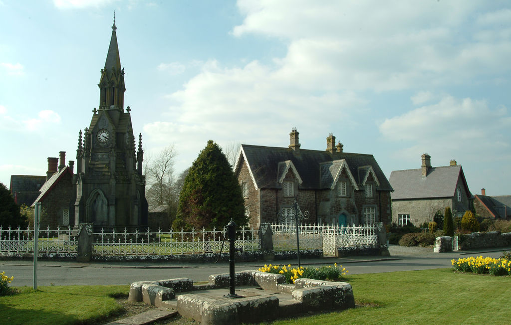
What is recorded here
Indicated is a buried fairy fort in County Longford, still marked by a low earth bank and a shallow ditch on a slight knoll. The outer works have vanished under pasture and scrub, but the inner scarp remains tall enough to touch. A person might have stood inside that circle at dusk, listening for the faint music that fairy forts are said to keep. The land has forgotten the entrance, yet the shape still resists the plough.
On a slight knoll in otherwise level pasture. Depicted as an irregular tree-planted enclosure on the 1837 ed. of the OS 6-inch map. A report in 1975 (SMR file) indicates that this raised subcircular area ( 34.3m E-W; 33m N-S) was enclosed by a low bank of earth and stone, an intervening fosse and fragmentary remains of an outer bank and outer fosse. It is defined by a scarp (H 1-1.2m) at the base of which, from SE-S-SW, is a low berm that marks the line of an infilled fosse (Wth 3m; H 0.5-1m). The outer bank and fosse have been levelled. Quarrying has occurred in the SE quadrant of the interior and the original entrance is not recognisable. The rath is densely overgrown with scrub.
Compiled by: Patrick F. O'Donovan
Date of upload: 17 January 2012
The monument record does not grant public access. Check the route and ask the landowner before entering private land.
- What survives
- Recorded monument
Places near here
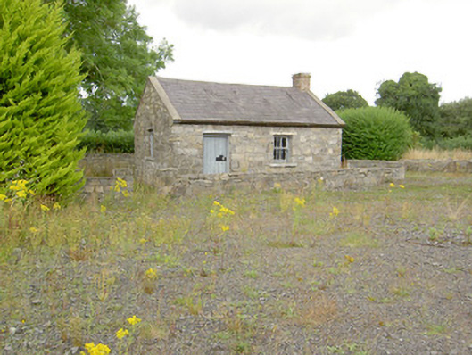 MacEoin's Forgeforge/smithy · 1393 yd
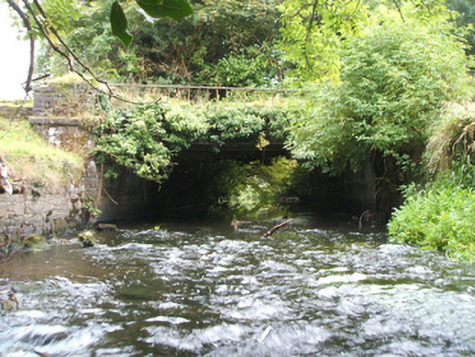 Kilshruley Manorbridge · 1608 yd
 Frys IslandCrannog · 1.0 mi
 Ballinalee Forest WalkForest · 1.0 mi
 Round IslandCrannog · 1.1 mi
 Bully's Acregraveyard/cemetery, unknown · 1.4 mi
 Bawn in CurrycahillBawn · 1.5 mi
 Cloonfin WoodForest · 1.7 mi
 Clonfin Ambush MemorialMemorial · 1.9 mi
 Moat & CastleCastle, motte and bailey · 2.6 mi
 InchmoreIslet · 4.8 mi
 Edgeworthstown BypassMemorial · 5.0 mi
Other information
Photo: Credit not shown in the picture search · Rights wording not checked; contact us if this picture should be removed