What is recorded here
On a prominent rise in pasture, within the demesne of 'Lissard House'. Not indicated on the OS 6-inch map (1837). Represented as a sub-circular raised area on the OS 25-inch plan (1911). This has been levelled and there are no remains visible at ground level. It is very likely that this was a designed landscape feature.
Compiled by: Patrick F. O'Donovan
Date of upload: 26 August 2011
The monument record does not grant public access. Check the route and ask the landowner before entering private land.
- What survives
- Recorded monument
Places near here
 RuinsCastle, unclassified · 229 yd
 Church in FirmountChurch · 466 yd
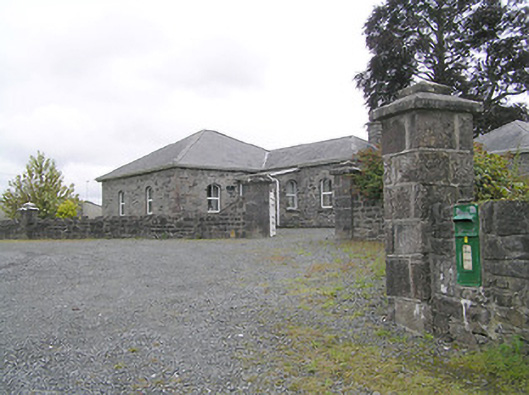 Lissard Housegates/railings/walls · 470 yd
 Moat & FortCastle, motte and bailey · 476 yd
 BarrowBarrow, embanked barrow · 1147 yd
 Enclosure in CartronreaghEnclosure · 1210 yd
 Ballinalee Forest WalkForest · 3.7 mi
 Bully's Acregraveyard/cemetery, unknown · 4.1 mi
 Granard MotteMotte-and-bailey castle remains · 5.4 mi
 1798 Monumentmonument · 5.5 mi
 CartronfreeMountain / peak · 8.4 mi
 ToomeMountain / peak · 9.2 mi