What is recorded here
Enclosure in Lissadober is an enclosure in Lissadober, County Tipperary, Ireland. It lies on a flat grass-covered valley floor and was identified as a circular cropmark about 50 metres across on a 1970 aerial photograph, though neither the 1840 nor the later map depicts it. A north-south field bank bisects the eastern quadrant, while a very low broad bank remains visible in the northwest quadrant. The rest of the enclosure's outline cannot be determined.
In flat terrain on valley floor, under grass. Enclosure is not marked on either 1st (1840) or 1901-05 ed. OS 6-inch map. Monument identified as circular cropmark (diam. c. 50m) on aerial photograph (CUCAP 19 July 1970 BDS 27). Enclosure is bisected along E quadrant by a field bank running N-S. NW quadrant is clearly visible as a very low, broad bank, sloping gradually over 8m to exterior. Drinking trough on top of bank in N quadrant, immediately W of field bank. Remaining outline of enclosure is not possible to determine.
Compiled by: Jean Farrelly
Date of upload: 26 August 2011
The monument record does not grant public access. Check the route and ask the landowner before entering private land.
- What survives
- Recorded monument
Places near here
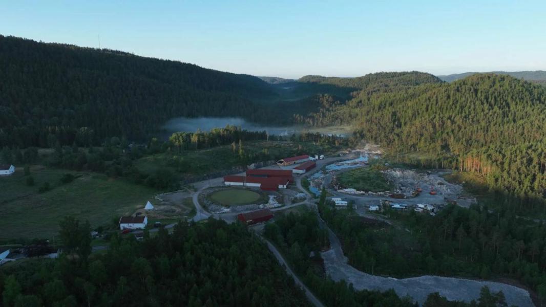 Enclosure in LissadoberEnclosure · 586 yd
 Wild CherryWild Cherry · 709 yd
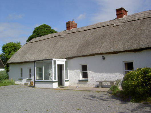 Ballynacloona Cottagehouse · 1027 yd
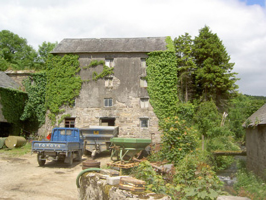 mill (water)mill (water) · 1106 yd
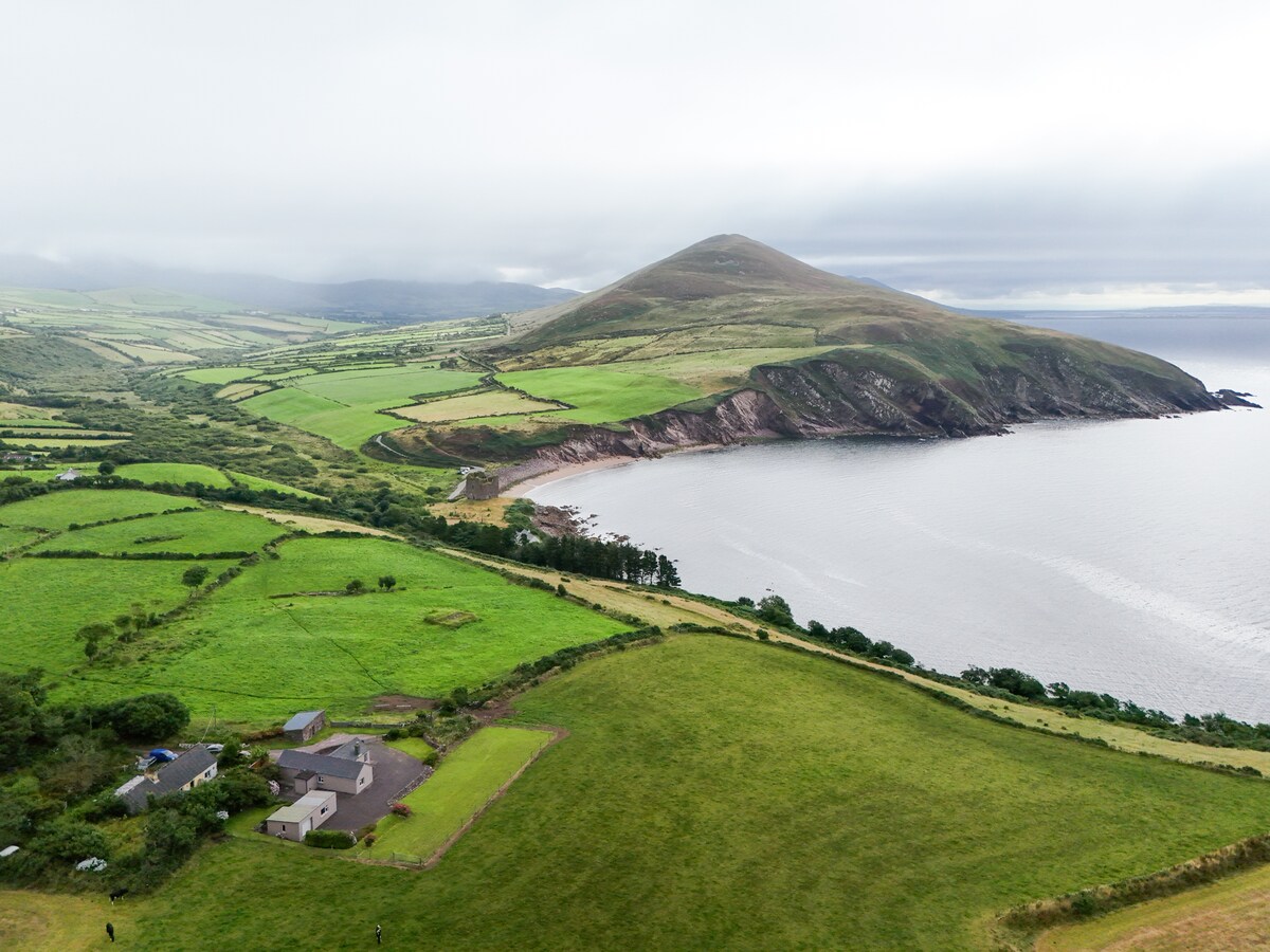 IndicatedEnclosure · 1552 yd
 Curraghdobbin HillMountain / peak · 1659 yd
 CastleCastle, ringwork · 1.4 mi
 Bawn in KilcashBawn · 1.5 mi
 Kilcash WoodForest · 1.5 mi
 Thomas KielyMemorial · 1.5 mi
 Carrigaloe RockNamed rock · 2.1 mi
 Carrigadoon HillMountain / peak · 3.0 mi