
What is recorded here
Lisroe is a bivallate rath in County Clare, Ireland, where two earthen banks and a flat-bottomed fosse still mark a small defended life on a south-facing slope. Cattle tracks cut the inner bank now, yet the western entrance and cultivation ridges inside suggest people once shaped the soil for growth rather than forgetting the place. The fort sits beside a stream and beneath higher ground, inviting wonder about whether residents watched the valley or waited for visitors to arrive.
In pasture on a S-facing slope overlooked by higher ground to the N with good views limited at W by a small stand of conifers, c. 15m E of a small stream that forms the townland boundary with Carrownaclogh. Hachured on the 1840 OS 6-inch map and hachured and named ‘Lisroe’ on 1916 edition. Listed as ‘Enclosure’ in the RMP (1996).
A bivallate rath (36.25m N-S; 34.5m E-W) defined by two banks and an intervening fosse. The steep-sided inner bank (Wth at base 3-5m; ext. H 0.6-1.8m; int. H 0.2-1m) is highest at the W, being reduced to a scarp at the S. Short stretches of drystone walling along the bank at the SW and W may be the remains of an internal revetment. The flat-bottomed fosse (Wth 2.2-4m) is present from SW to SE and has been reduced to a berm from SE to SW (Wth 2-4m). The outer bank (Wth 2-5.5m; int. H 1.4m; ext. H 0.2m) survives from SSW to NNE. Along the NE it has been incorporated into an adjacent field boundary, and it has been reduced to a vague rise to the E and a scarp to the S. A gap in the inner bank at the NW (Wth 4.75m) with a corresponding causeway over the fosse is likely the original entrance. The interior slopes down to the S and shows traces of cultivation ridges. A NNW-SSE field boundary crosses the W perimeter and conifers are planted to the W of it. Several modern cattle tracks cut across the inner bank while a small shallow depression has been dug into it at the S.
Compiled by: Mary Tunney and Eve Campbell
Date of upload: 22 October 2025
The monument record does not grant public access. Check the route and ask the landowner before entering private land.
- What survives
- Recorded monument
Places near here
 Fort Ho.Bawn · 674 yd
 Enclosure in CahersherkinEnclosure · 1206 yd
 Derreennacaheragh FortEnclosure · 1323 yd
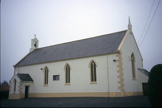 Saint Columba's Catholic Churchchurch/chapel · 1.0 mi
 Glen Castle (in Ruins)Castle, tower house · 1.4 mi
 Penitential station in CahersherkinPenitential station · 1.5 mi
 Famine MemorialMemorial · 2.6 mi
 Kilmanahn GraveyardRuins · 2.7 mi
 Burren Centre KilfenoraVisitor information · 3.7 mi
 High CrossHeritage attraction · 3.8 mi
 TullygarvanWood · 4.0 mi
 Lahinch BeachBeach / strand · 4.4 mi
Other information
Photo: Credit not shown in the picture search · Rights wording not checked; contact us if this picture should be removed