What is recorded here
Situated on a low natural rise of ground in undulating countryside. A raised circular area (diam. 33m E-W) enclosed by a bank (Wth 2.5m; ext. H 1m) which has been mainly reduced to a scarp with field clearance material dumped along the perimeter of the site. No trace of an external fosse or entrance.
The above description is derived from 'The Archaeological Inventory of County Tipperary. Vol. 1 - North Tipperary' compiled by Jean Farrelly and Caimin O'Brien (Dublin: Stationery Office, 2002). In certain instances the entries have been revised and updated in the light of recent research.
Date of upload/revision: 22 September 2008
The monument record does not grant public access. Check the route and ask the landowner before entering private land.
- What survives
- Recorded monument
Places near here
 Castle (in ruins)Castle, hall-house · 924 yd
 Enclosure in Ballinderry (ardcrony Par.)Enclosure · 1017 yd
 Ballylusky MoatCastle, motte · 1393 yd
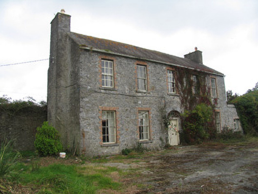 Ballyrickard Househouse · 1482 yd
 Enclosure in Coolderry (modreeny Par.)Enclosure · 1.0 mi
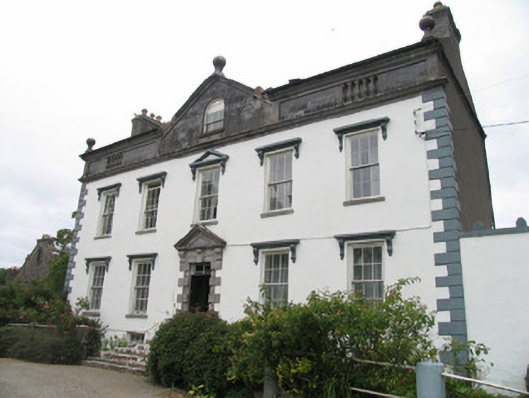 Mount Falconcountry house · 1.1 mi
 Ballycapple WoodForest · 2.6 mi
 Knockanacree WoodForest · 3.7 mi
 MacDonagh HouseMemorial · 3.7 mi
 Thomas MacDonagh Heritage CentreMuseum · 3.8 mi
 James Devaney MemorialMemorial · 4.1 mi
 Knigh HillMountain / peak · 4.3 mi