
What is recorded here
Ballylusky Moat is a castle motte on an esker ridge in County Tipperary, where an oval flat-topped mound rises above the surrounding land. Its steep sides and nearby natural platforms suggest a small defended place, though quarrying has removed much of the evidence. The moat still marks the ridge, preserving the shape of a home or stronghold that once used the height of the esker to watch the flat country beyond.
Located on an esker ridge, oriented roughly N-S, in otherwise flat/gently undulating terrain. The esker has been extensively quarried. An oval, flat-topped mound (diam 8.4m NE-SW; 16.2m NW-SE) utilising the esker and raised 2.1m above it - this is particularly evident on the N side. The E and W sides are very steep. Natural platform areas lie immediately N and S of the motte. These may have served as baileys though no enclosing element is visible. Quarrying, especially to the S, may have destroyed any evidence of an original enclosing feature.
The above description is derived from 'The Archaeological Inventory of County Tipperary. Vol. 1 - North Tipperary' compiled by Jean Farrelly and Caimin O'Brien (Dublin: Stationery Office, 2002). In certain instances the entries have been revised and updated in the light of recent research.
Date of upload/revision: 22 September 2008
The monument record does not grant public access. Check the route and ask the landowner before entering private land.
- What survives
- Recorded monument
Places near here
 Castle (in ruins)Castle, hall-house · 615 yd
 LisheenArchaeological place · 1404 yd
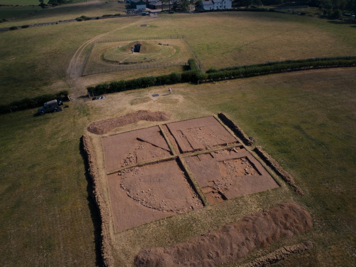 Ardcroney Burial MoundArchaeological place · 1569 yd
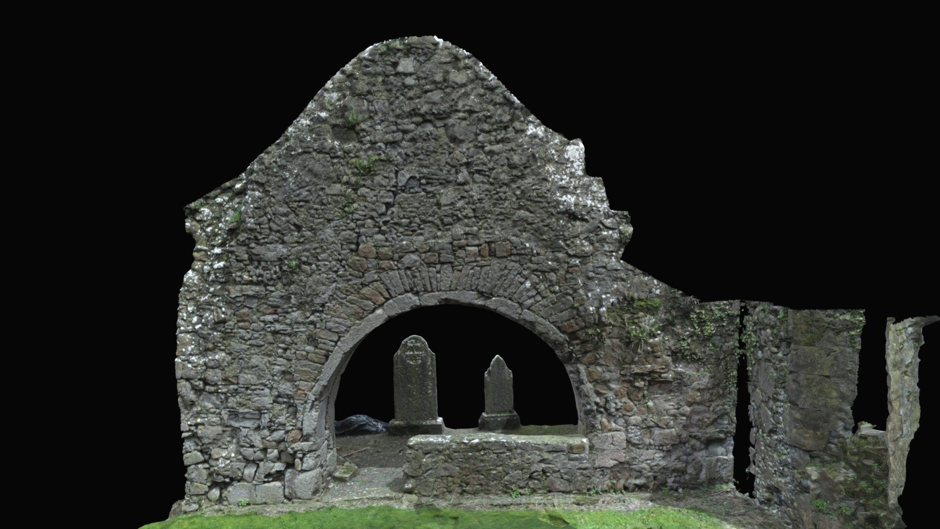 Church (in ruins)Church · 1722 yd
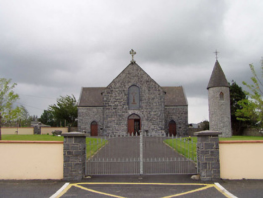 Saint Flannan's Catholic Churchchurch/chapel · 1.0 mi
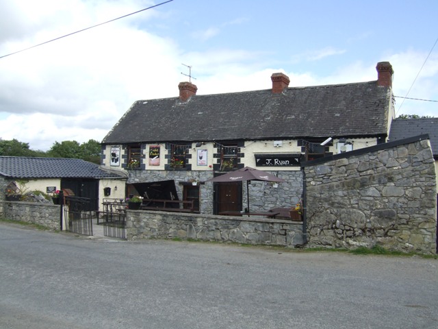 Carney CastleCastle · 2.3 mi
 Ballycapple WoodForest · 2.3 mi
 James Devaney MemorialMemorial · 3.4 mi
 Knigh HillMountain / peak · 3.7 mi
 MacDonagh HouseMemorial · 4.0 mi
 Thomas MacDonagh Heritage CentreMuseum · 4.0 mi
 Knockanacree WoodForest · 4.2 mi
Other information
Photo: Credit not shown in the picture search · Rights wording not checked; contact us if this picture should be removed