What is recorded here
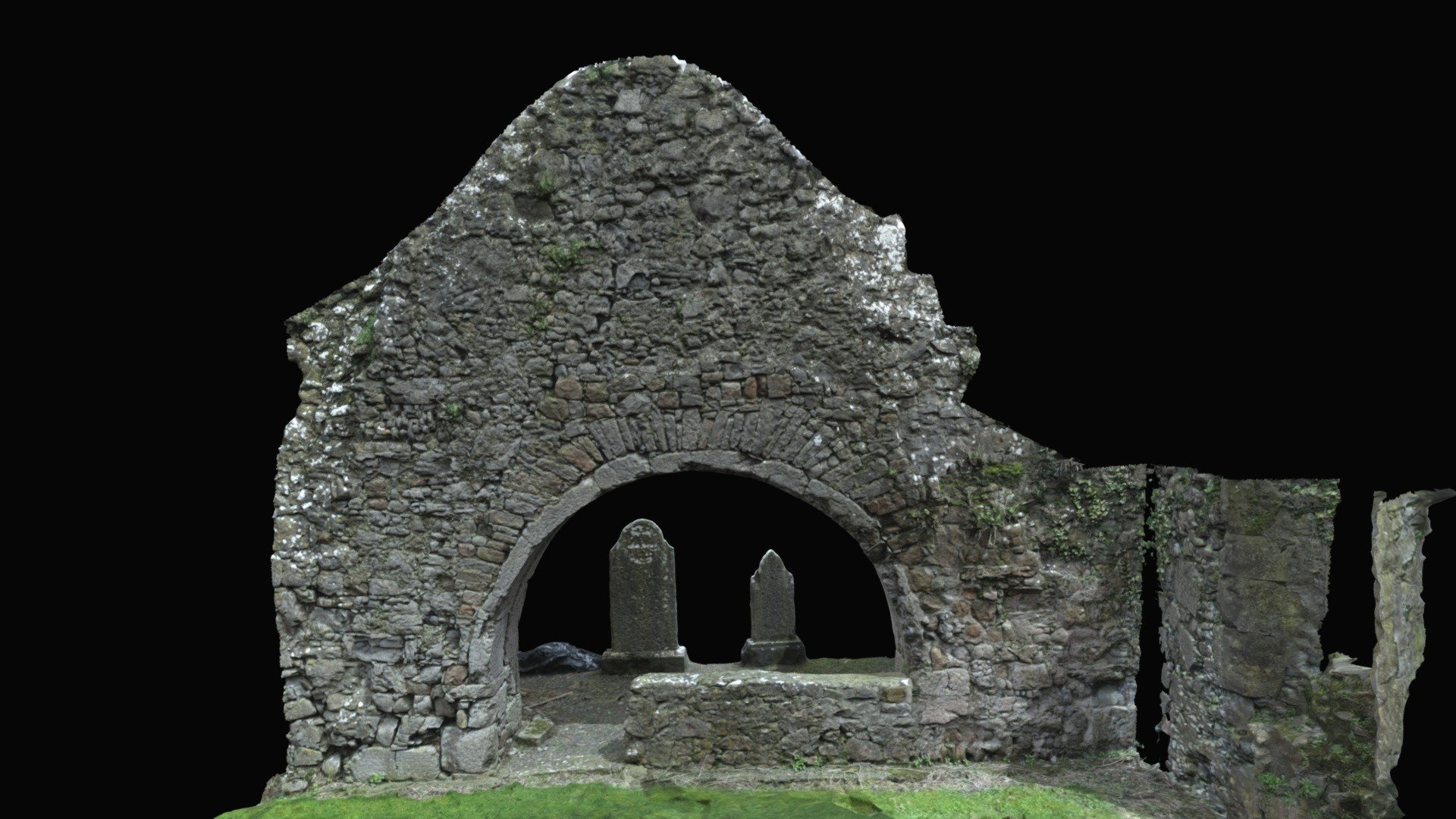
Situated on a low rise in undulating terrain. An early ecclesiastical foundation which was patronised by the O'Hogan family (Gwynn and Hadcock 1970, 373). The site is listed in the ecclesiastical taxation of the Diocese of Killaloe in 1302 (CDI, vol. 5, 302) and the Royal Visitation of 1615 described the building as ' chancell up, the body down' (Murphy 1914, 220). A multi-period church situated off-centre in a rectangular graveyard, with an adjoining tower house (TN015-015002) immediately to the W. A nave (dims. c. 9.6m N-S; 7.75m E-W; wall T 0.9m) and chancel (dims. 6.7m N-S; 8.57m E-W) church composed of roughly coursed limestone blocks, with large sandstone quoins, resting vertically, in the SE angle. The original church appears to have been a single undivided unit. The single-light window in the S wall of the nave is chamfered and rebated externally and has a wide internal splay. Diagonal tooling on the jambs indicates a twelfth-century date for this feature. There is a mason's mark on the bottom, external face of the W jamb consisting of a set-square with terminals. Though now missing, the OS Letters mention a round-headed lintel for this window, which has been replaced by an incongruous sillstone (O'Flanagan 1930, vol. 3, 24). The church probably had a vaulted ceiling as attested by springers for an E-W vault visible on the N and S walls of the chancel. Many of the features visible today date to late sixteenth-century modifications. These include the central ogee-headed window with plain spandrels in the E gable decorated with vine-scroll motif and an owl's head on the external face and a substantial round, cut limestone chancel arch. There are no windows in the N and S walls of the chancel. The church has also been altered in recent years, the N wall of chancel being largely rebuilt and buttressed, with fragments of gravestones incorporated. The slightly pointed doorway in the S wall of the nave and adjoining the neighbouring tower house has been concreted over. The N wall of the nave is destroyed.
The above description is derived from 'The Archaeological Inventory of County Tipperary. Vol. 1 - North Tipperary' compiled by Jean Farrelly and Caimin O'Brien (Dublin: Stationery Office, 2002). In certain instances the entries have been revised and updated in the light of recent research.
Date of upload/revision: 22 September 2008
The monument record does not grant public access. Check the route and ask the landowner before entering private land.
- What survives
- Recorded monument
Places near here
 Castle (in Ruins)Castle, tower house · 13 yd
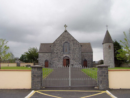 Saint Flannan's Catholic Churchchurch/chapel · 69 yd
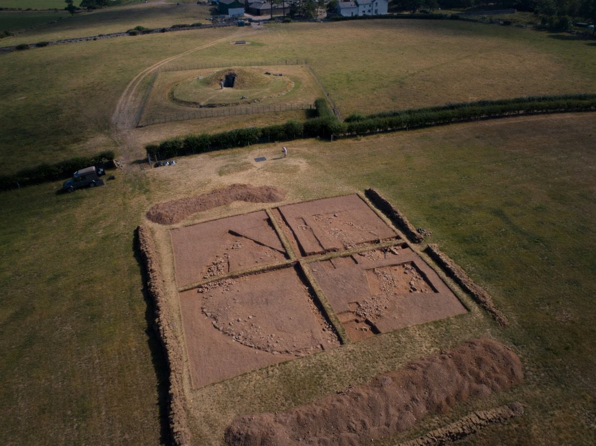 Ardcroney Burial MoundArchaeological place · 452 yd
 Fulacht fia in Coolderry (ardcrony Par.)Fulacht fia · 1131 yd
 Ballylusky MoatCastle, motte · 1722 yd
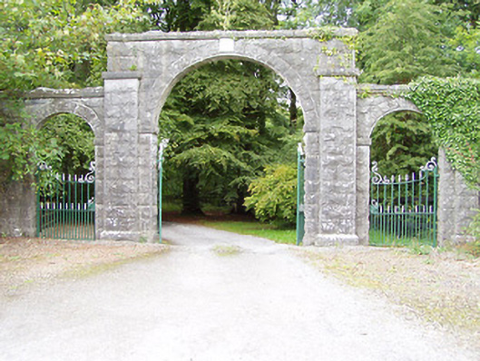 Ashley Park Housegate lodge, demesne walls/gates/railings · 1.2 mi
 Ballycapple WoodForest · 2.6 mi
 Knigh HillMountain / peak · 2.8 mi
 James Devaney MemorialMemorial · 2.8 mi
 MacDonagh HouseMemorial · 4.7 mi
 Thomas MacDonagh Heritage CentreMuseum · 4.8 mi
 Old BarracksHeritage attraction · 4.9 mi
Other information
Photo: Credit not shown in the picture search · Rights wording not checked; contact us if this picture should be removed