
What is recorded here
Located in a graveyard on a low rise, adjoining Ardcrony church (TN015-015001-) to the E. Described in the Civil Survey (1654-6) as the 'ruines of an old castle the walls onely standing neer the vaulted chappell being all wast' (Simington 1934, vol. 2, 292). Daniell Hogan of Graige is listed as proprietor in 1640 (ibid.). A four-storey tower house of roughly coursed limestone rubble entered through the E wall with steps down to the interior and spiral stairs rising immediately S of the doorway in the SE angle. The E wall terminates at N with a straight edge, possibly the original end, although there is no evidence of a return and the N wall has been destroyed. The N end of the W wall has also collapsed. There is a pointed vault over the ground floor with good evidence of wicker centring. This floor has a dividing wall (T 0.5m) which may be a later insert. An oriel window projects form the S wall at first-floor level - of the light itself only a chamfered jamb remains. There is a large opening broken through the E face of this floor. On the third floor in the E face there is a cusped ogee-headed window with plain spandrels and chamfered exterior, and the remains of a round-headed single-light. The stairs are lit by single-light opes, one of which reuses a quernstone fragment as an embrasure lintel. An external wall (H 2.5m) projecting out of the SW angle appear to be the remains of a buttress as recorded in the Ordnance Survey Letters. There is a bartizan above this at third-floor level which is supported on four corbels, the S corbel on the W wall has a human head carved in relief on its underside.
The above description is derived from 'The Archaeological Inventory of County Tipperary. Vol. 1 - North Tipperary' compiled by Jean Farrelly and Caimin O'Brien (Dublin: Stationery Office, 2002). In certain instances the entries have been revised and updated in the light of recent research.
Date of upload/revision: 12 April 2012
The castle at Ardcrony was likely built in the late medieval period, possibly by a local Gaelic or Anglo-Norman lord, and is remembered for its proximity to the church and its mention in the 1654 Civil Survey, indicating its status as a notable, though ruined, structure in early modern times.
This remains an important historical record, but the official description says the monument is no longer visible or has been destroyed. The monument record does not grant public access. Check the route and ask the landowner before entering private land.
- What survives
- No visible remains or recorded as destroyed
Places near here
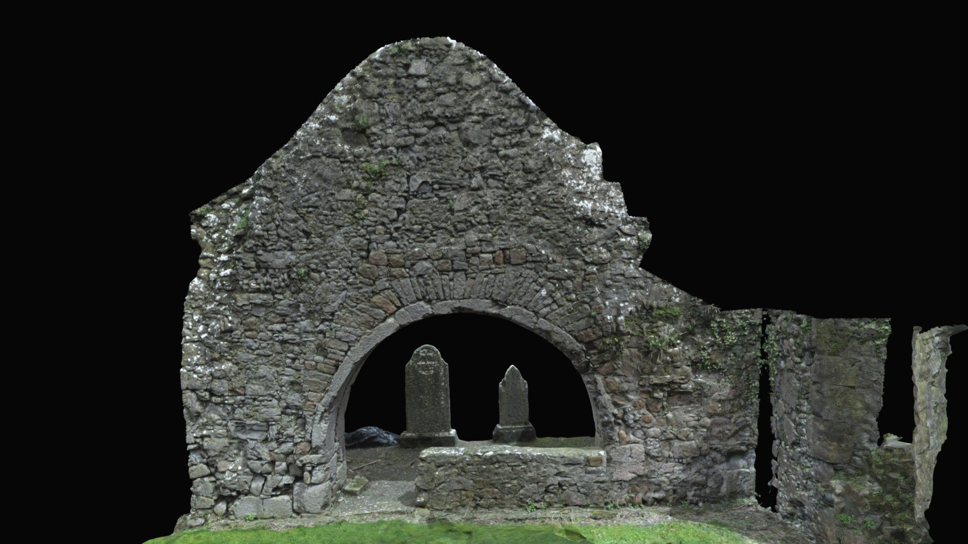 Church (in ruins)Church · 13 yd
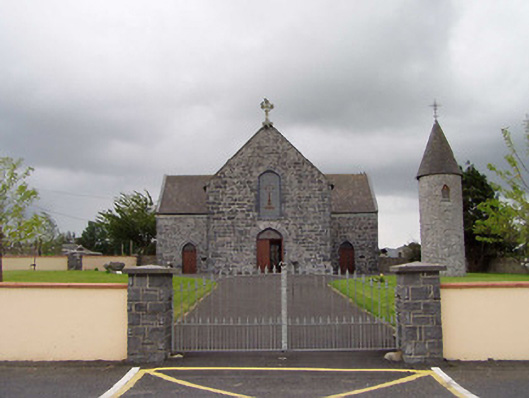 Saint Flannan's Catholic Churchchurch/chapel · 56 yd
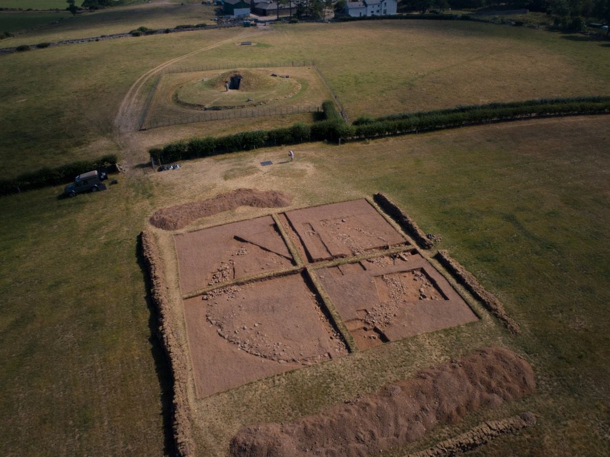 Ardcroney Burial MoundArchaeological place · 453 yd
 Fulacht fia in Coolderry (ardcrony Par.)Fulacht fia · 1132 yd
 Ballylusky MoatCastle, motte · 1734 yd
 Bawn in Graigue Upper (ardcrony Par.)Bawn · 1.9 mi
 Ballycapple WoodForest · 2.6 mi
 Knigh HillMountain / peak · 2.8 mi
 James Devaney MemorialMemorial · 2.8 mi
 MacDonagh HouseMemorial · 4.8 mi
 Thomas MacDonagh Heritage CentreMuseum · 4.8 mi
 Old BarracksHeritage attraction · 4.9 mi
Other information
Photo: Credit not shown in the picture search · Rights wording not checked; contact us if this picture should be removed