
What is recorded here
Situated in low-lying esker terrain, c. 100m N of a river, on ground sloping very gently to the S. A grass-covered, roughly circular mound (dims. 19.3m N-S; 17.7m E-W; H 0.9m) with a central depression (dims. 4.1m x 3.9m; D 0.5-0.82m) and another discrete depression (dims, 4.4m x 1.7m; D 0.19-0.43m) at S.
The above description is derived from 'The Archaeological Inventory of County Tipperary. Vol. 1 - North Tipperary' compiled by Jean Farrelly and Caimin O'Brien (Dublin: Stationery Office, 2002). In certain instances the entries have been revised and updated in the light of recent research.
Date of upload/revision: 22 September 2008
The monument record does not grant public access. Check the route and ask the landowner before entering private land.
- What survives
- Recorded monument
Places near here
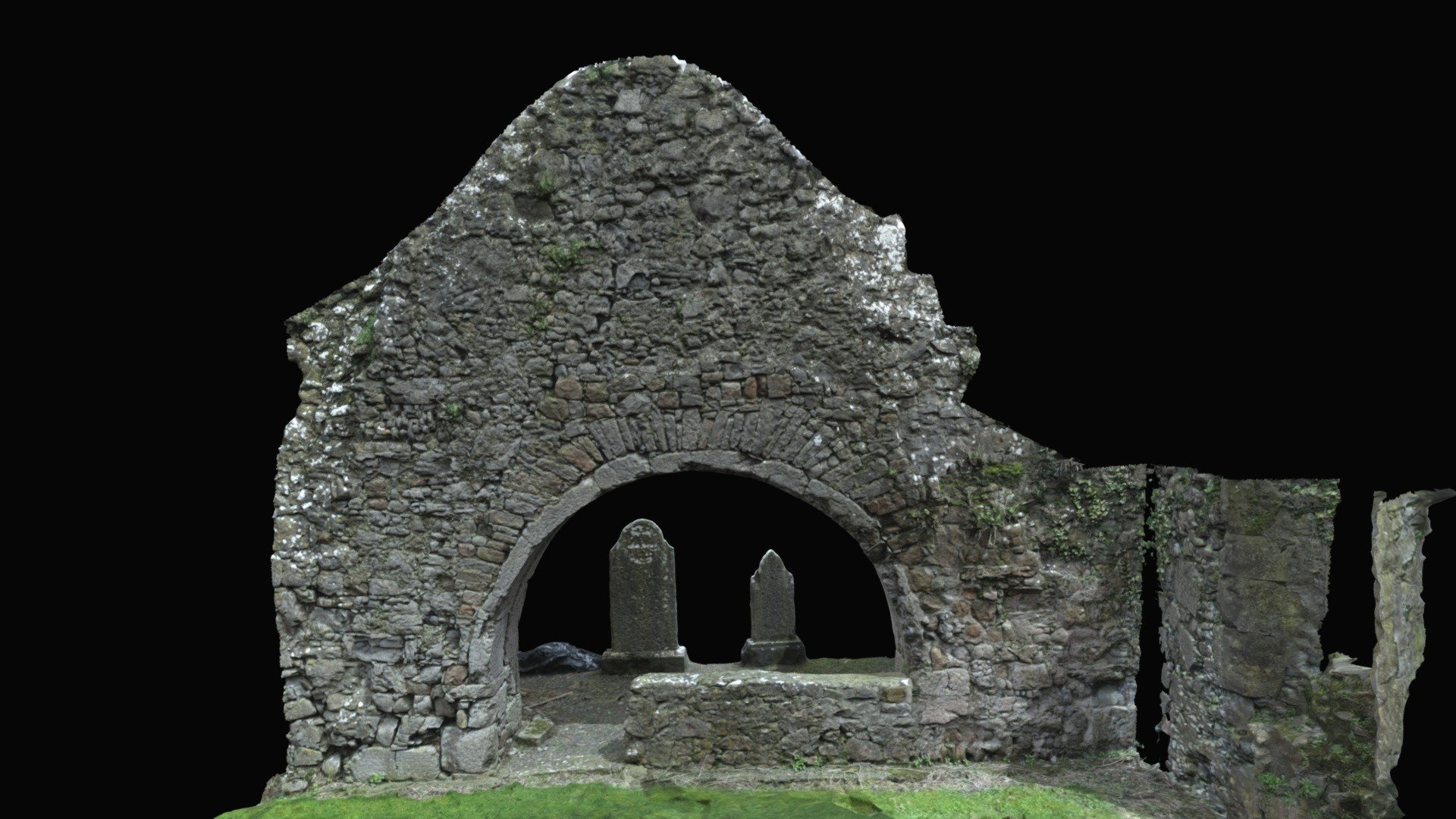 Church (in ruins)Church · 1132 yd
 Castle (in Ruins)Castle, tower house · 1132 yd
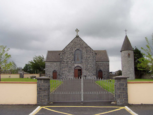 Saint Flannan's Catholic Churchchurch/chapel · 1136 yd
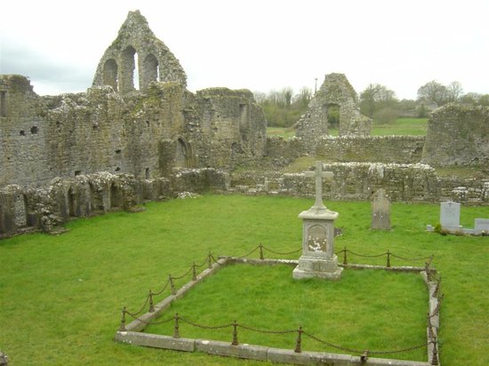 Enclosure in MagheranenaghEnclosure · 1163 yd
 LisheenArchaeological place · 1538 yd
 Bawn in Graigue Upper (ardcrony Par.)Bawn · 1.2 mi
 James Devaney MemorialMemorial · 2.2 mi
 Ballycapple WoodForest · 2.2 mi
 Knigh HillMountain / peak · 2.9 mi
 Old BarracksHeritage attraction · 4.5 mi
 MacDonagh HouseMemorial · 4.6 mi
 Thomas MacDonagh Heritage CentreMuseum · 4.6 mi
Other information
Photo: Credit not shown in the picture search · Rights wording not checked; contact us if this picture should be removed