What is recorded here
Marked as a circular embanked enclosure (ext. diam. c. 40m) on the 1837 and 1914 eds of the OS 6-inch map, and situated on a S-facing slope. It was described in 1956 as a rectangular area (dims c. 30m N-S; c. 30m E-W) defined by slight earthen banks (Wth c. 1-5-2m; int. H c. 0.4-0.6m; ext. c. H 0.5-0.9m) and outer fosses or moats (Wth c. 5.5m) with external banks (Wth c. 3m) on every side except the N where there was an E-W field bank (SMR file). No trace survived in 1972 (Gannon), but it is traceable as a circular grass-covered area defined by a band of rushes (Wth 3-4m). Rath (RO016-090----) is c. 110m to the NW.
Compiled by: Michael Moore
Date of upload: 2 January 2013
The monument record does not grant public access. Check the route and ask the landowner before entering private land.
- What survives
- Recorded monument
Places near here
 IndicatedFairy fort / earthen ringfort · 1332 yd
 Embanked enclosureFairy fort / earthen ringfort · 1343 yd
 Church (in Ruins)Church · 1.2 mi
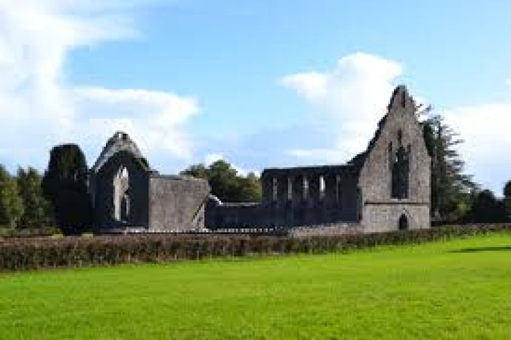 AbbeyChurch · 1.5 mi
 War of Independence Commemorative Military MemorialMemorial · 1.6 mi
 Castle (Site of)Castle, unclassified · 4.3 mi
 CastleCastle, unclassified · 4.9 mi
 Cruachan Aí Heritage CentreMuseum · 5.0 mi
 European ashEuropean ash · 5.1 mi
 Gray's WoodForest · 6.6 mi
 Bawn IslandIslet · 8.8 mi
 Rose PointHeadland · 9.6 mi