
What is recorded here
The parish church of Kilmacumsy, listed as Kilmire Comsig in the ecclesiastical taxation of Elphin in 1306 (Cal. doc. Ire., vol. 5, 223), is situated in an undulating landscape overlooking lower ground to the S. The church is a rectangular structure (int. dims 12.75m E-W; 5.9m N-S) defined by ivy-covered walls (T. 1m) of large coursed mortared limestone blocks surviving best at the SW angle (H 3m) but reduced to the foundations and overlain by modern field walls along the N and E. There are no architectural features visible. A sandstone bullaun stone (RO016-097002-) (dims 0.8m x 0.8m; H 0.4-0.5m) in the SW corner of the church with an oval basin (dims 0.38m x 0.32m; D 0.14-0.18m) on its upper surface has another basin on the underside. There is no evidence of the graveyard (RO016-097003-) depicted on the 1837 ed. of the OS 6-inch map as a rectangular area (dims c. 40m N-S; c. 30m E-W) S of the church. The Church Well (RO0016-096001-) and the possible Man-made underground passage (RO016-096001-) are c. 120m and c. 70m to the WNW respectively.
Compiled by: Michael Moore
Date of upload: 24 August 2010
The monument record does not grant public access. Check the route and ask the landowner before entering private land.
- What survives
- Recorded monument
Places near here
 Church WellHoly well · 148 yd
 TobernaveanHoly well · 1207 yd
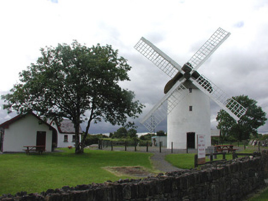 mill (wind)mill (wind) · 1337 yd
 Saint Patrick's Catholic Churchchurch/chapel · 1.2 mi
 War of Independence Commemorative Military MemorialMemorial · 1.2 mi
 Castle (Site of)Castle, unclassified · 3.4 mi
 Coolnahinch WoodWood · 4.8 mi
 Church WoodWood · 5.1 mi
 GortnacushlaunCastle, unclassified · 6.6 mi
 Bawn IslandIslet · 9.7 mi
 Patrick Gill Memorial Plaque (IRA)Monument · 9.9 mi
 Rose PointHeadland · 10 mi
Other information
Photo: Credit not shown in the picture search · Rights wording not checked; contact us if this picture should be removed