
What is recorded here
In a hollow on an undulating landscape, and regarded as a holy well c. 1910 (OS Name Books). Described as a circular stone-lined well with an opening to the W (Gannon 1972). It is now a pond (L 30m NE-SW; Wth 8m NW-SE) with two pump-houses in a field known as `Cave Field'. The possible Man-made underground passage site (RO016096002-) is c. 50m to the SE, while church (RO016-097001-) is c. 120m to the ESE.
Compiled by: Michael Moore
Date of upload: 24 August 2010
Linked to Saint Cumméne, the well was traditionally visited for its healing properties, particularly for skin ailments and general well-being. The site reflects a long-standing Christian and pre-Christian tradition of water worship in the region.
The monument record does not grant public access. Check the route and ask the landowner before entering private land.
- What survives
- Recorded monument
Places near here
 Church (in Ruins)Church · 148 yd
 TobernaveanHoly well · 1108 yd
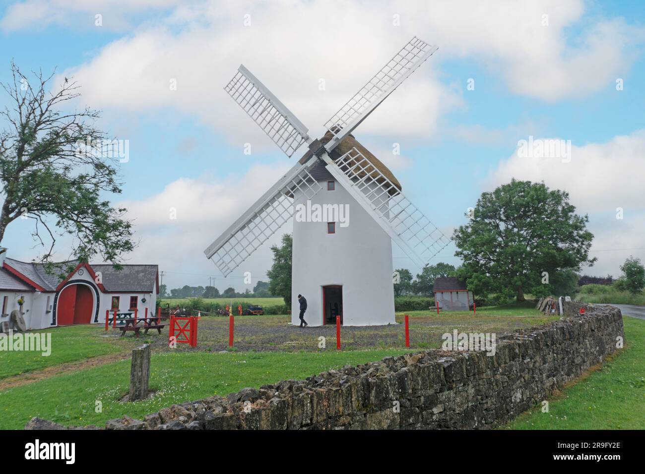
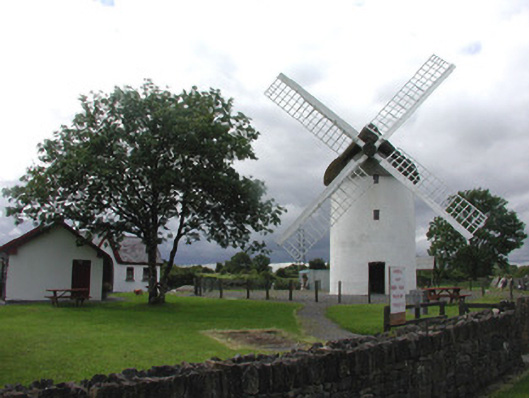 mill (wind)mill (wind) · 1483 yd
 Embanked enclosureFairy fort / earthen ringfort · 1.1 mi
 War of Independence Commemorative Military MemorialMemorial · 1.2 mi
 Castle (Site of)Castle, unclassified · 3.4 mi
 Coolnahinch WoodWood · 4.9 mi
 Church WoodWood · 5.1 mi
 GortnacushlaunCastle, unclassified · 6.5 mi
 Bawn IslandIslet · 9.6 mi
 Patrick Gill Memorial Plaque (IRA)Monument · 10.0 mi
 Rose PointHeadland · 10 mi
Other information
Photo: Credit not shown in the picture search · Rights wording not checked; contact us if this picture should be removed