What is recorded here
Lislahy is a grass-covered fairy fort at the south end of a low ridge in County Leitrim, its earthen bank still standing beside a drain cut through the old fosse. The oval enclosure measures thirty-five metres north to south and twenty-nine east to west, with a causeway and entrance on the east side. People may have lived there before changing the boundary for water, but the shape remains clear enough to imagine lamps, footsteps and ordinary days inside the ring.
Located at the S end of a low N-S drumlin ridge. This is a grass and rush-covered oval area (dims 35m N-S; 29m E-W; int. dims 32m N-S; 25m E-W) defined by a flat-topped earthen bank (Wth of base 4-6m; Wth of top 1-1.5m; int. H 0.6-1.2m; ext. H 1.7-2.4m) with some bushes and an external fosse (Wth of top 4.2-5.6m; Wth of base 1.5-2m; D 0.4-1.4m) which is largely re-cut as a drain SW-N-E. There is an outer bank (Wth 3m; H 0.6m) SW-W. The entrance (Wth 3.3m) and causeway (Wth 4m) are at E. There is a small drain (Wth 0.3m; D 0.3m) inside the inner bank S-NNW.
The above description is derived from 'The Archaeological Inventory of County Leitrim' compiled by Michael J. Moore (Dublin: Stationery Office, 2003). In certain instances the entries have been revised and updated in the light of recent research.
Date of upload: 23 September 2008
The monument record does not grant public access. Check the route and ask the landowner before entering private land.
- What survives
- Recorded monument
Places near here
 LisgruddyFairy fort / earthen ringfort · 571 yd
 LisroughtyFairy fort / earthen ringfort · 1210 yd
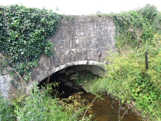 County Bridgebridge · 1482 yd
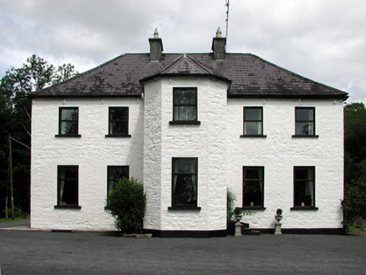 Corduff Househouse · 1550 yd
 Cornagunleog ForestForest · 1682 yd
 Owengallees WoodlandForest · 2.1 mi
 DrumgownaghMountain / peak · 2.1 mi
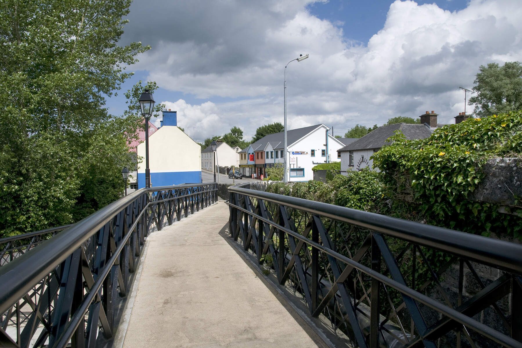 DerrinivverMountain / peak · 2.2 mi
 CastleCastle, ringwork · 2.4 mi
 Bawn in Cherry IslandBawn · 2.5 mi
 Cherry IslandIslet · 2.5 mi
 Giants GraveArchaeological place · 2.5 mi