What is recorded here
In reclaimed pasture, 580m SSW of Ballynanty House. Not depicted on 1840 ed. OSi 6-inch map. Annotated ‘Lisheen’ on the 1897 ed. OSi 25-inch map where it is depicted as a raised rectangular-shaped area (dims. c. 80m N-S x 60m E-W) defined by a scarp with fosse, with a raised roughly square-shaped area (dims. c. 31m N-S x 47m E-W) defined by a scarp and fosse, in S quadrant. A rectangular-shaped raised area (dims. c. 21m N-S x 65m E-W) defined by a scarp and fosse from NE-SE and SSE-S-SW is located immediately to S. Intersected at S by drainage works associated with demesne landscaping and laneway. Monument visible on OSi orthophotograph taken between 2005-12 and on Google Earth orthoimage dated 24/09/2019 in a similar manner to the OSi 25-inch map. Possible moated site which may have been modified in post-medieval period during landscaping/ reclamation works on the estate of Ballynanty House.
See attached Google Earth orthoimages
Compiled by: Fiona Rooney
Date of upload: 25 March 2021
The monument record does not grant public access. Check the route and ask the landowner before entering private land.
- What survives
- Recorded monument
Places near here
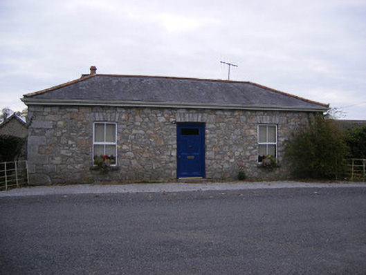 Rockbarton Housegate lodge, outbuilding · 985 yd
 Stone CircleFairy fort / stone ringfort · 1047 yd
 Burial GroundGraveyard · 1212 yd
 (Site of) Tullabracky CastleCastle, unclassified · 1233 yd
 CastleCastle, unclassified · 1249 yd
 RoadRoad, road/trackway · 1279 yd
 Lough GurVisitor information · 1.8 mi
 Grange Stone CircleArchaeological place · 1.8 mi
 KnockainyMountain / peak · 4.2 mi
 European ashEuropean ash · 4.9 mi
 Flat cemetery in Knockainy WestFlat cemetery · 5.2 mi
 Villiers WellSpring · 5.6 mi