
What is recorded here
Just S of a small stream on gently sloping ground, in rough marshy terrain with numerous small hills intersected by little streams. Depicted as a circular enclosure on the 1st (1839) ed. OS 6-inch map. The monument appears to be levelled, though a circular area (diam. c. 25m) enclosed by slight traces of a fosse (Wth 2m; D 0.1-0.2m) are visible, despite being heavily overgrown with gorse at time of inspection. The interior has a slightly concave profile.
Compiled by: Jean Farrelly
Date of upload: 10 February 2016
The monument record does not grant public access. Check the route and ask the landowner before entering private land.
- What survives
- Recorded monument
Places near here
 St. Bridgets WellHoly well · 564 yd
 CastleCastle, unclassified · 1004 yd
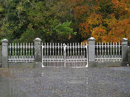 Seskin Housegates/railings/walls · 1302 yd
 Saint Brigid's Catholic Churchchurch/chapel · 1361 yd
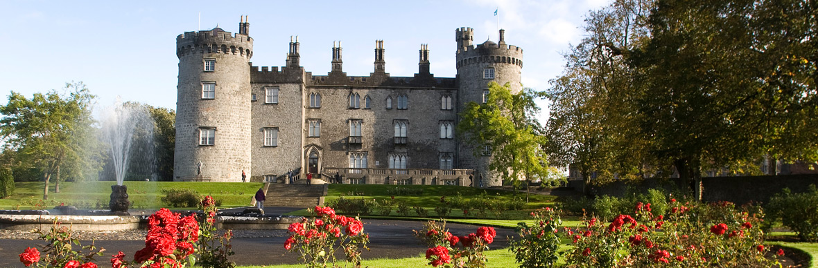 IndicatedFairy fort / earthen ringfort · 1467 yd
 Mountgarret Castle (in ruins)Castle, unclassified · 1.1 mi
 Anker's IslandIsland · 2.4 mi
 Street fieldArchaeological place · 4.6 mi
 Big WoodWood · 5.5 mi
 Clomantagh HillMountain / peak · 5.7 mi
 DelaneyMemorial · 6.9 mi
 Cnoc SeanrathaMemorial · 7.7 mi
Other information
Photo: Credit not shown in the picture search · Rights wording not checked; contact us if this picture should be removed