What is recorded here
Towards the SW edge of a low ridge c. 240m E of the Derreen River, a tributary of the River Slaney, in mixed tillage and pasture. Notified by Mr Jean-Charles Caillere and visible on Google Earth aerial imagery (21-7-2021), and on MapGenie aerial imagery (2004-2006), as the cropmark of a circular area (est. diam. c. 30m) defined by traces of two narrow, concentric fosses SSE-SW and at NW. The cropmark of a second, smaller circular feature (est. diam. c. 5m) is visible in the W sector of the enclosed area.
Also visible in the same aerial imagery is a burial mound (WI037-001----) only c. 13m to the SSW, along with a second enclosure (WI037-033----) c. 20m to the NNE, and a standing stone (WI037-028----) beyond again, c.10m to the NNE.
It should be noted that the concentric elements visible in the aerial image of this monument are similar to those in the image of the burial mound (WI037-001----) to the immediate SSW suggesting that it too may have been a burial mound, and sub-surface archaeological deposits may survive intact.
Combined, the four monuments comprise a significant archaeological presence on a short length of ground (L c. 140m).
See attached image: WI037-034----_01 Annotated snip from Google Earth - image dated 21-7-2021.
Compiled by: Gearóid Conroy
Date of upload: 9 March 2023
A Bronze Age burial mound; significance not yet assessed due to lack of archaeological investigation.
The monument record does not grant public access. Check the route and ask the landowner before entering private land.
- What survives
- Recorded monument
Places near here
 Enclosure in LiscolmanEnclosure · 27 yd
 Portal tomb in HaroldstownPortal tomb · 1626 yd
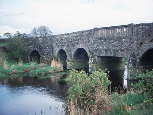 Acaun Bridgebridge · 1683 yd
 Acaun Monastery (in ruins)Religious house, Augustinian friars · 1.1 mi
 Acaun Church (in ruins), GraveyardChurch · 1.2 mi
 Site of CastleCastle, unclassified · 1.3 mi
 CastleCastle, unclassified · 1.6 mi
 Church (in ruins), GraveyardChurch · 2.0 mi
 Rath WoodForest · 2.7 mi
 European ashEuropean ash · 2.9 mi
 Eagle HillMountain / peak · 4.5 mi
 Ballycumber HillMountain / peak · 8.1 mi