
What is recorded here
On a low ridge c. 250m E of the Derreen River, a tributary of the River Slaney, in mixed tillage and pasture. Notified by Mr Jean-Charles Caillere and visible on Google Earth aerial imagery (21-7-2021), and on MapGenie aerial imagery (2004-2006), as the cropmark of a circular area (est. diam. c. 18m). Subsurface archaeological deposits may survive intact.
Also visible in the same aerial imagery is a second enclosure (WI037-034----) c. 20m to the SSW, with a burial mound (WI037-001----) c. 13m beyond that again to the SSW, while only c. 10m to the NNE, a standing stone (WI037-028----) is visible.
Combined, the four monuments comprise a significant archaeological presence on a short length of ground (L c. 140m).
See attached image: WI037-033----_01 Annotated snip from Google Earth - image dated 21-7-2021.
Compiled by: Gearóid Conroy
Date of upload: 9 March 2023
A local fairy fort (ringfort/rath); wider significance not recorded.
The monument record does not grant public access. Check the route and ask the landowner before entering private land.
- What survives
- Recorded monument
Places near here
 Portal tomb in HaroldstownPortal tomb · 1601 yd
 Haroldstown DolmenArchaeological place · 1603 yd
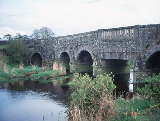 Acaun Bridgebridge · 1660 yd
 Acaun Monastery (in ruins)Religious house, Augustinian friars · 1.1 mi
 Acaun Church (in ruins), GraveyardChurch · 1.1 mi
 Site of CastleCastle, unclassified · 1.3 mi
 CastleCastle, unclassified · 1.6 mi
 Church (in ruins), GraveyardChurch · 2.0 mi
 Rath WoodForest · 2.7 mi
 European ashEuropean ash · 2.9 mi
 Eagle HillMountain / peak · 4.5 mi
 Ballycumber HillMountain / peak · 8.1 mi
Other information
Photo: Credit not shown in the picture search · Rights wording not checked; contact us if this picture should be removed