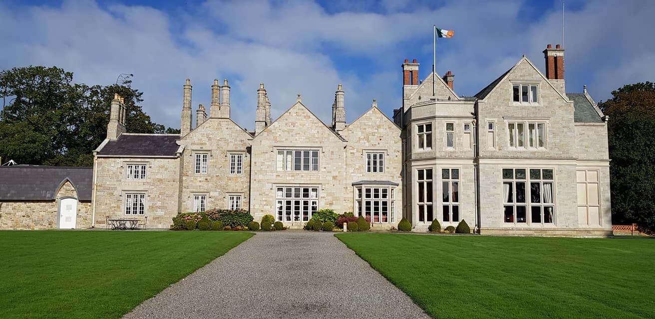
What is recorded here
Liscallyroan is a grass-covered ringfort on a drumlin slope in County Leitrim, its earthen bank barely rising above the rush-covered floor while the external fosse cuts a shallow shadow beside it. The missing entrance and uneven bank height suggest the site has been walked, grazed or forgotten until its edges blurred into the hill. Whatever lived inside that circle left no standing wall to point at, only a slight swell of soil and a boundary the land still remembers.
Located on the W-facing slope of the NNW-SSE spine of a drumlin. This is a grass and rush-covered circular area (int. diam. 28m N-S; 27.5m E-W) that slopes down to the SW. It is defined by an earthen bank (Wth of base 3.4m; int. H 0.1m generally to 0.3m at NE; ext. H 0.3m at NW to 0.95m at SW) with some bushes and an external fosse (Wth of base 1.9m; ext. D 0.2m). The original entrance is not identified.
The above description is derived from 'The Archaeological Inventory of County Leitrim' compiled by Michael J. Moore (Dublin: Stationery Office, 2003). In certain instances the entries have been revised and updated in the light of recent research.
Compiled by: Michael Moore
Date of revised upload: 15 October 2019
The monument record does not grant public access. Check the route and ask the landowner before entering private land.
- What survives
- Recorded monument
Places near here
 LisdaukyFairy fort / earthen ringfort · 283 yd
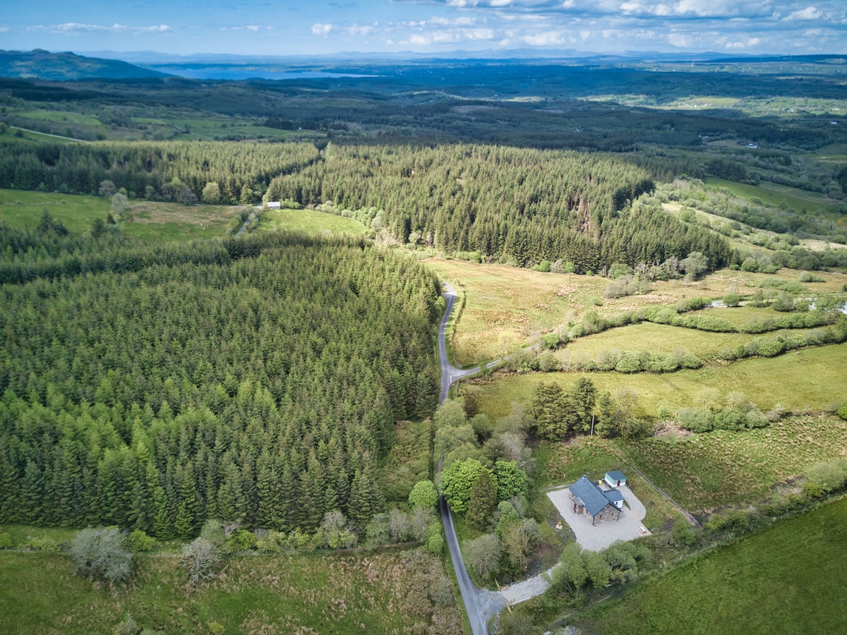 IndicatedFairy fort / earthen ringfort · 1039 yd
 R. C. ChapelChurch · 1.3 mi
 Drumsna National Schoolschool · 1.4 mi
 Declaration of IndependenceMemorial · 1.6 mi
 Robert Strawbridge MemorialMemorial · 1.7 mi
 CastlecarraCastle, unclassified · 1.9 mi
 Wildlife AreaNature reserve · 2.0 mi
 PortCastle, unclassified · 3.0 mi
 Moon RiverHeritage attraction · 3.1 mi
 Leabaidh DermotCave · 3.2 mi
 Shannon-Erne WaterwayVisitor information · 3.4 mi
Other information
Photo: Credit not shown in the picture search · Rights wording not checked; contact us if this picture should be removed