
What is recorded here
Clonegall Stone is a circular enclosure in County Carlow, Ireland, with a standing stone still visible at its centre. The 1839 map drew a ring thirty-five metres across, but no trench has ever found the ditch or bank that ring implied. People may have walked a boundary now lost to soil and time, leaving only the stone to mark the middle of what vanished.
The following description is derived from the published 'Archaeological Inventory of County Carlow' (Dublin: Stationery Office, 1993). In certain instances the entries have been revised and updated in the light of recent research.
Date of upload/revision: 17 July 2007
Shown on 1839 'OS 6-inch' map as circular enclosure (max. D c. 35m). No visible surface traces. Standing stone (CW023-023----) on site. First and subsequent descriptions of standing stone do not mention enclosure. (JRSAI 1965, 64-6).
The monument record does not grant public access. Check the route and ask the landowner before entering private land.
- What survives
- Recorded monument
Places near here
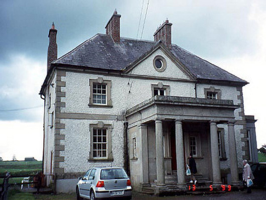 Glen Lodgehouse · 550 yd
 Enclosure in LeighlinbridgeEnclosure · 599 yd
 Turret (in ruins)Town defences · 599 yd
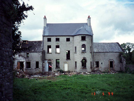 Garrison Househouse · 629 yd
 Black Castle (in ruins)Castle, tower house · 665 yd
 Church, GraveyardChurch · 994 yd
 Common LimeCommon Lime · 1.3 mi
 Dunleckny Ho.Castle, unclassified · 2.0 mi
 Sweet ChestnutSweet Chestnut · 2.1 mi
 Graveyard in Tomard Lower (3 Detached Portions)Graveyard · 2.2 mi
 Lock Keeper's House and Lodge MillsVisitor information · 2.3 mi
 The Columban WayVisitor information · 2.4 mi
Other information
Photo: Credit not shown in the picture search · Rights wording not checked; contact us if this picture should be removed