
What is recorded here
Hachured Forts was a thirty-two-metre earthen ringfort on a Longford pasture slope, its southern entrance facing the valley before ploughing erased the bank and fosse. It may have housed a family, a herder or a forgotten claimant, but the soil has taken that memory back. What remains is the shape of the loss: a circle large enough to hold lives, now invisible under grass.
On a gentle E-facing slope in pasture. A report in 1976 (SMR file) recorded a raised circular area (diam. c. 32m) enclosed by a low bank of earth and stone with an external fosse. The original entrance was at S. The rath has since been levelled and is not visible at ground level.
Compiled by: Patrick F. O'Donovan
Date of upload: 26 August 2011
The monument record does not grant public access. Check the route and ask the landowner before entering private land.
- What survives
- Recorded monument
Places near here
 Lady WellHoly well · 624 yd
 Chapel (Site of)Chapel · 635 yd
 IndicatedHouse, indeterminate date · 967 yd
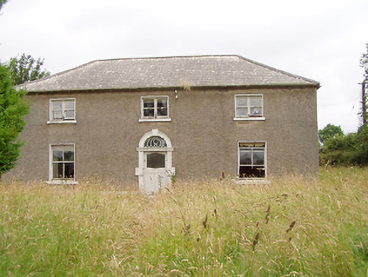 Treel Housemill manager's house · 1056 yd
 Pedunculate OakPedunculate Oak · 1.1 mi
 European BeechEuropean Beech · 1.3 mi
 CastleCastle, motte · 2.0 mi
 Abbeyshrule AbbeyRuins · 2.7 mi
 Not locatedCastle, unclassified · 2.7 mi
 Goldsmith Birthplace, PallasVisitor information · 4.2 mi
 Newcastle WoodsForest · 4.7 mi
 Guest ServicesVisitor information · 4.8 mi
Other information
Photo: Credit not shown in the picture search · Rights wording not checked; contact us if this picture should be removed