What is recorded here
No visible entrance remains on the SE-facing slope in Larkfield, County Longford, where a 39.8 m circular rath still stands behind a thin earth-and-stone bank and an infilled fosse. Field boundaries have taken the south-western curve, scrub has claimed much of the circle, and the true doorway has vanished from sight. That absence does not diminish the fort; it withholds one fact while preserving a shape large enough to have held lives, herds, fear and festivity.
On a SE-facing slope in rough pasture. A raised circular area (diam. 39.8m) enclosed by a bank of earth and stone (Wth c. 4m; H 0.2-0.5m) from WNW-NW and from NNE-E-ESE. At the base of the bank is a largely infilled fosse (Wth 3.1m; D 0.3m). From SE-S-W the circuit and morphology of the perimeter has been altered where it has been incorporated into a NW-SE field boundary. The original entrance is not recognisable. The rath is densely overgrown with scrub.
Compiled by: Patrick F. O'Donovan
Date of upload: 16 January 2012
The monument record does not grant public access. Check the route and ask the landowner before entering private land.
- What survives
- Recorded monument
Places near here
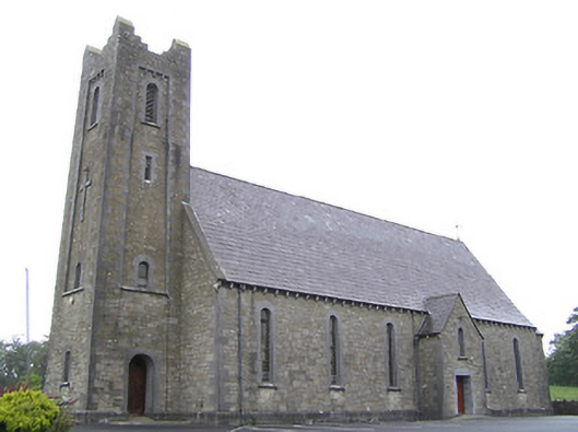 Saint Columba's Catholic Churchchurch/chapel · 516 yd
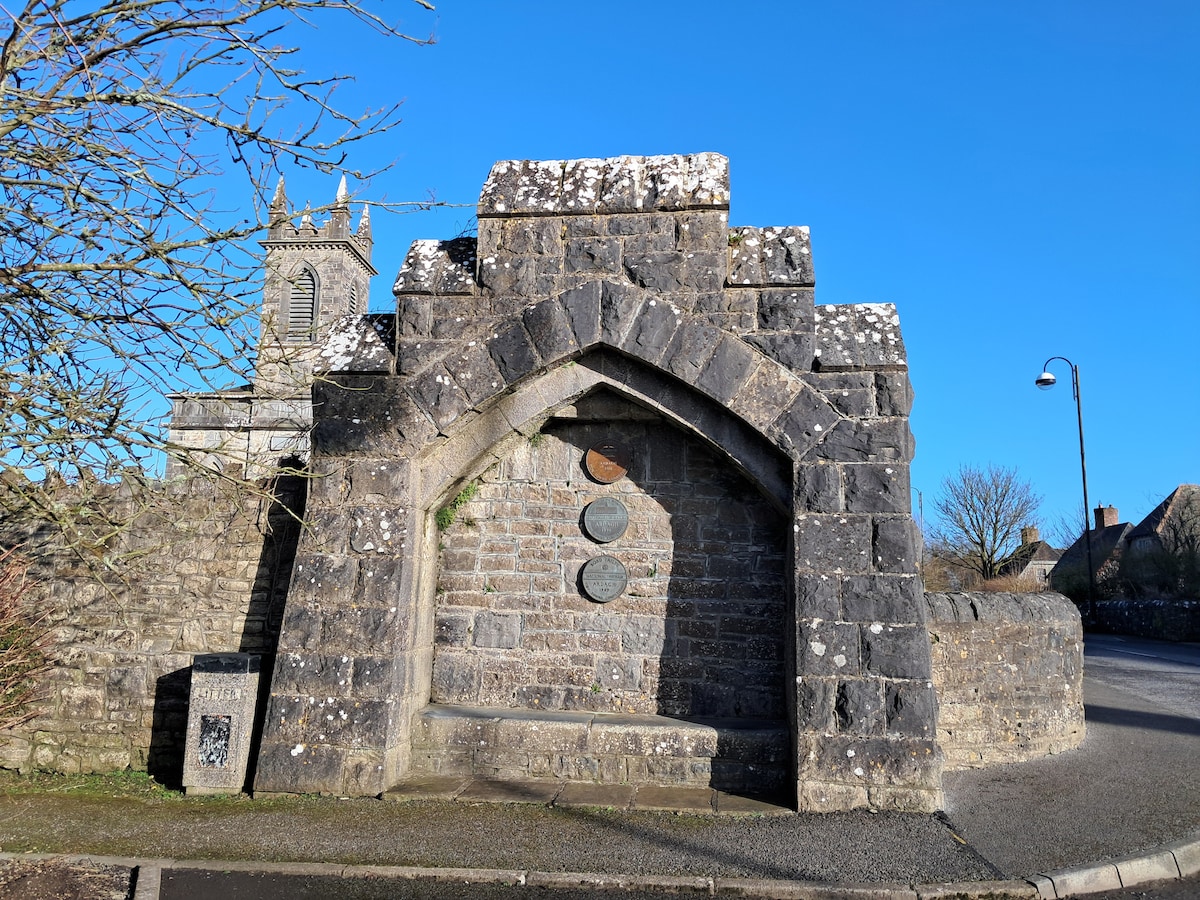 Enclosure in Cloonagh (granard By.)Enclosure · 853 yd
 St. Columbas R.C. ChurchChurch · 1045 yd
 Derrycassan WoodsWood · 1296 yd
 Lissakerry FortFairy fort / earthen ringfort · 1571 yd
 InchmoreIslet · 1.7 mi
 ToomeMountain / peak · 1.8 mi
 Cornamucklagh WoodlandWood · 2.3 mi
 CornagranMountain / peak · 2.7 mi
 Scrabby IslandIslet · 2.8 mi
 Cloone Ho.Castle, unclassified · 2.8 mi
 IdicatedCastle, unclassified · 3.2 mi