
What is recorded here
Indicated is a faded fairy fort in County Cavan, Ireland, where a broad waterlogged ditch still cuts through the earth beside a modern farm lane. People may have lived inside its circular bank before the land changed, but that life has disappeared except for the shape left behind. The fort no longer shows an entrance or resists forgetting, yet it still marks the boundary between human memory and fairy speculation.
Raised circular area (int. diam. c. 35m) enclosed by slight remains of a wide earthen bank bounded by a modern laneway, and a wide, deep, waterlogged fosse which survives only from SW-NW where it has been modified and utilised as a field drain. Elsewhere the bank is bounded by a modern laneway. Modern farm buildings abut the site at NNW. Original entrance not recognisable.
The above description is derived from the published 'Archaeological Inventory of County Cavan' (Dublin: Stationery Office, 1995). In certain instances the entries have been revised and updated in the light of recent research.
Date of upload/revision: 22 December 2008
The monument record does not grant public access. Check the route and ask the landowner before entering private land.
- What survives
- Recorded monument
Places near here
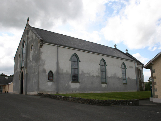 Our Lady of Mount Carmelchurch/chapel · 826 yd
 EnclosureEnclosure, large enclosure · 1015 yd
 Castle in ruinsCastle, unclassified · 1199 yd
 Fair of MuffMemorial · 1375 yd
 post boxpost box · 1471 yd
 Moyer CairnArchaeological place · 1.4 mi
 LoughanleaghForest · 1.6 mi
 CornasausMountain / peak · 1.6 mi
 TeevurcherMountain / peak · 2.2 mi
 The CurraghWood · 2.3 mi
 Giants GraveArchaeological place · 2.4 mi
 Castle ruinsCastle, unclassified · 3.3 mi
Other information
Photo: Credit not shown in the picture search · Rights wording not checked; contact us if this picture should be removed