What is recorded here
Fairy fort / earthen ringfort in Lackandarra Upper is a fairy fort or earthen ringfort in Lackandarra Upper, County Waterford, Ireland. The 1840 map showed a circular embanked enclosure about 45 to 50 metres across, while the 1927 map showed a southwest to northeast bank arc about 50 metres across. The pasture holds slight intermittent bank traces on level ground, but testing southeast of the marked area did not recover related material.
Marked as a circular embanked enclosure (ext. diam. c. 45-50m) on the 1840 ed. of the OS 6-inch map and as the arc of a bank (diam. c. 50m) SW-NE on the 1927 ed. Situated in pasture on level ground. Slight intermittent traces of a bank are visible. Archaeological testing (04E0842) just to the SE failed to produce any related material. (Purcell 2007)
Purcell, J. (2007) Lackendarry Upper. No archaeological significance. in I. Bennett (Ed.) Excavations 2004: summary accounts of excavations in Ireland, 427, No. 1682. Wordwell. Dublin.
The above description is derived from the published 'Archaeological Inventory of County Waterford' (Dublin: Stationery Office, 1999). In certain instances the entries have been revised and updated in the light of recent research.
Compiled by: Michael Moore
Date of upload/revision: 18 January 2012
The monument record does not grant public access. Check the route and ask the landowner before entering private land.
- What survives
- Recorded monument
Places near here
 ToberatempleHoly well · 550 yd
 Church in Knockboy (decies Without Drum By., Seskinan Par.)Church · 651 yd
 IndicatedEnclosure · 769 yd
 Sliabh gCuahouse · 1.3 mi
 Standing StoneMemorial · 2.9 mi
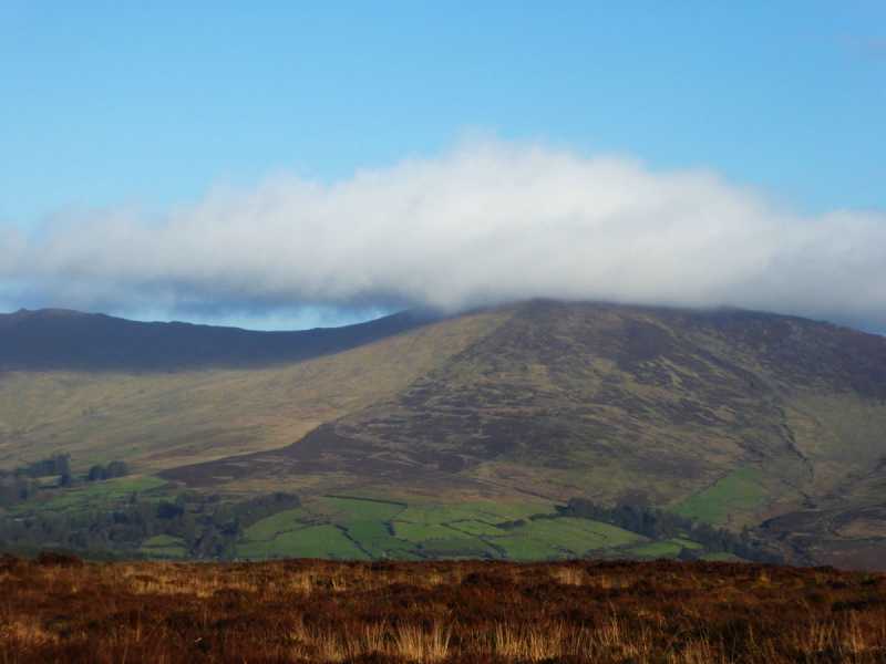 Bleantasour MountainMountain / peak · 3.2 mi
 Pigeon HillMountain / peak · 3.8 mi
 Site of CastleCastle, unclassified · 4.4 mi
 Curraghcloney CastleCastle · 4.9 mi
 Mahon ValleyCliff · 5.3 mi
 Glenshelane WoodsForest · 5.8 mi
 Glenshelane Red WalkWalking route · 6.1 mi