What is recorded here
In a coniferous forestry plantation, enclosed by a buffer zone (min. 20m). The monument is almost completely overgrown with dense briars and only the E quadrant is visible. This quadrant is defined by a bank (Wth 3.2m; int. H 0.35m; ext. H 0.65m). It is depicted on the 1904 edition OS 6-inch map as a circular mound (map diam. c. 10-13m).
Compiled by: Jean Farrelly
Date of upload: 26 August 2011
The monument record does not grant public access. Check the route and ask the landowner before entering private land.
- What survives
- Recorded monument
Places near here
 Enclosure in Kyle (solloghodbeg Par.),newtown (solloghodbeg Par.)Enclosure · 342 yd
 Enclosure in Carron (solloghodbeg Par.),kyle (solloghodbeg Par.)Enclosure · 603 yd
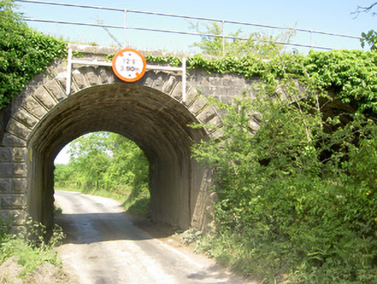 bridgebridge · 1394 yd
 Soloheadbeg Ambush SiteMemorial · 1472 yd
 CastleCastle, unclassified · 1559 yd
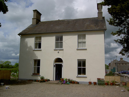 Limerick Junction Railway Stationstation master's house · 1732 yd
 Soloheadbeg Ambushambush · 1.2 mi
 MoatCastle, motte and bailey · 2.0 mi
 The Maid of ErinMemorial · 2.7 mi
 Oola HillMountain / peak · 3.1 mi
 European ashEuropean ash · 4.0 mi
 Bansha ForestForest · 5.5 mi