What is recorded here
Fairy fort / earthen ringfort in Knockdrin (corkaree By.) is a fairy fort or earthen ringfort in Knockdrin (corkaree By.), County Westmeath, Ireland. It sits on the NE facing slope of a gently rising hill in undulating grassland, within the demesne lands of Knockdrin Castle. The site consists of a slightly raised sub-circular area measuring approximately 30 metres north-south and 32 metres east-west, enclosed by a poorly preserved earthen bank and a shallow external fosse. This fosse is best preserved from north-northeast through east to southeast, while the interior slopes slightly from southwest to northeast and contains several beech and oak trees.
Situated on NE facing slope of a gently rising hill in undulating grassland. This monument is situated on the demesne lands of Knockdrin Castle (WM012-176----) in an area of formal tree planting, and it is likely that the ringfort was reused as a tree-ring in the post 1700 period. The road which marks the townland boundary with Kilmaglish is less than 5m to the W. A slightly raised sub-circular shaped area (approx. diam. 30m N-S; 32m E-W) enclosed by a poorly preserved earthen bank and a shallow external fosse that is best preserved from NNE-E-SE. The interior slopes slightly from SW-NE and contains several beech and oak trees.
See attached profile of monument surveyed and drawn by the ASI.
Compiled by: Frank Coyne and Caimin O'Brien
Date of upload: 6 March 2018
The monument record does not grant public access. Check the route and ask the landowner before entering private land.
- What survives
- Recorded monument
Places near here
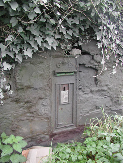 post boxpost box · 172 yd
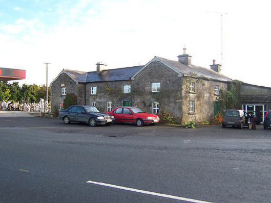 Rose Cottageworker's house · 211 yd
 Hachured, Bells HillFairy fort / earthen ringfort · 606 yd
 OutlinedCastle, tower house · 668 yd
 Partially hachuredFairy fort / earthen ringfort · 1100 yd
 Long PlantingForest · 1.1 mi
 IndicatedCastle, tower house · 1.4 mi
 Scragh Bog Nature ReserveNature reserve · 2.0 mi
 Church IslandIsland · 2.6 mi
 Saint Brigid's WellSpring · 2.7 mi
 United Nations War MemorialMemorial · 3.3 mi
 Srudarra IslandIslet · 3.4 mi