What is recorded here
Indicated is a Clonmel rath on a marshy rise, its earthen bank still standing one metre thick at the northeast edge while a shallow scarp fades toward the north. The platform measures barely twenty-seven metres across, small enough for a family farm or a seasonal stronghold, yet large enough to exclude casual entry. It sits twenty-five metres from a thin stream, with open views to three horizons and higher ground watching from the west. That asymmetry suggests judgement rather than pride: see what comes, but remain visible to something larger.
On a rise in rough marshy pasture, c. 25m W of a small SW-flowing stream, with good views to N, E, and S but overlooked by higher ground to the W. Hachured on both the first (1840) and Cassini (1916) editions of the OS 6-inch map. Classified as an enclosure in the RMP (1996). A rath comprising a subcircular platform (27.5m NW-SE; 26.5m E-W) defined by a low earthen bank and scarp with traces of an external fosse. The enclosing bank survives at NE (Wth 1m; ext. H 0.8m; int. H 0.2m) and S (Wth 1m; H 0.1m), while a scarp (H 1.1-1.8m) defines the enclosure along the E and W, lowering to the NW (H 0.5m) and petering out between the NW and NNE. A depression along the base of the scarp at the SW suggests the presence of an outer fosse.
Compiled by; Gearóid Conroy and Eve Campbell
Date of upload: 8-10-2025
The monument record does not grant public access. Check the route and ask the landowner before entering private land.
- What survives
- Recorded monument
Places near here
 LissydeelaFairy fort / earthen ringfort · 298 yd
 IndicatedFairy fort / earthen ringfort · 948 yd
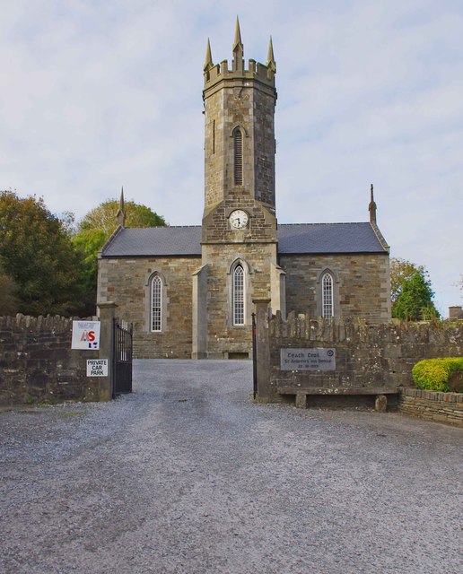 An Teach Ceoilchurch/chapel · 1306 yd
 Kilmanahn GraveyardRuins · 1345 yd
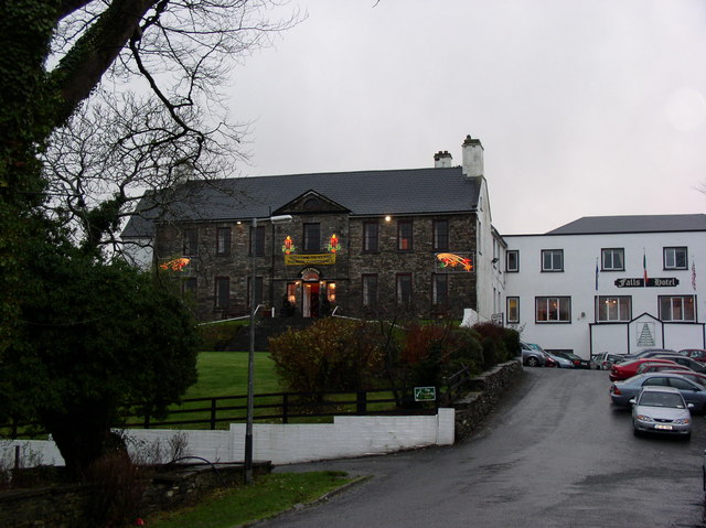 Ennistimon Househouse · 1355 yd
 Famine MemorialMemorial · 1696 yd
 Site of Tullamore CastleCastle, unclassified · 1.5 mi
 Glen Castle (in Ruins)Castle, tower house · 1.6 mi
 Lahinch BeachBeach / strand · 2.4 mi
 TullygarvanWood · 3.2 mi
 John P. Holland CentreMuseum · 3.9 mi
 Burren Centre KilfenoraVisitor information · 4.5 mi