
What is recorded here
Indicated is a heavily overgrown bivallate rath on a Clare hilltop, its twin earthen banks and shallow ditch still tracing a forty-five-metre circle through pasture. The inner bank rises two metres with rounded tops, while a fragment of upright stones at the northwest edge hints at ancient stone reinforcement. Opposing gaps recorded at the southeast suggest a deliberate entrance, though dense vegetation now hides the path. The fort has stood since before mapping, waiting for someone to walk its buried threshold.
In pasture on the summit of a hill. Hachured on both the first (1840) and Cassini (1916) editions of the OS 6-inch map. Classified as an enclosure in the RMP (1996). This is a heavily overgrown subcircular bivallate rath (diam. c. 45m). Where accessible (at S, NW and N) the enclosing elements consist of a round-topped inner earthen bank (Wth 2.1m; ext. H 1.8-2.1m; int. H 0.4m), the remains of an outer bank (at S only – Wth 2m; H 0.1m) and an intervening fosse (Wth 3.1-3.8m; ext. D 0.1m). At NNW, a short length (c. 1m) of upright stones in the inner bank suggests a revetment. While no trace of an original entrance was visible in the dense overgrowth, the OS 25-inch plan (1897) records opposing gaps in the inner bank (est. Wth c. 4m) and outer bank (est. Wth c. 7.5m) at SE.
Compiled by: Gearóid Conroy and Eve Campbell
Date of upload: 7-10-2025
The monument record does not grant public access. Check the route and ask the landowner before entering private land.
- What survives
- Recorded monument
Places near here
 LissydeelaFairy fort / earthen ringfort · 766 yd
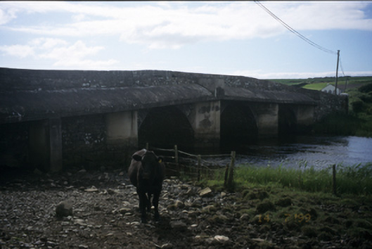 New Bridgebridge · 1084 yd
 Kilmanahn GraveyardRuins · 1124 yd
 Enclosure in CaheraderryEnclosure · 1363 yd
 Famine MemorialMemorial · 1717 yd
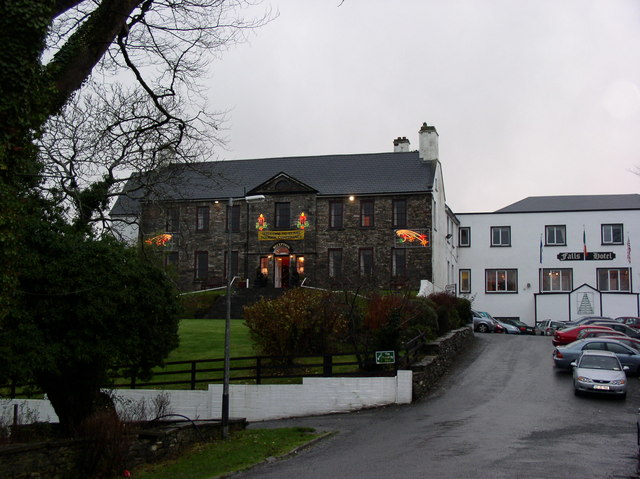 Ennistimon Househouse · 1.1 mi
 Site of Tullamore CastleCastle, unclassified · 1.4 mi
 Dough CastleRuins · 1.4 mi
 Lahinch BeachBeach / strand · 2.0 mi
 TullygarvanWood · 3.1 mi
 John P. Holland CentreMuseum · 3.4 mi
 Bridget's Well;St Bridget's WellSpring · 4.4 mi
Other information
Photo: Credit not shown in the picture search · Rights wording not checked; contact us if this picture should be removed