What is recorded here
Ogham stone in Knockballymaloogh is an ogham stone in Knockballymaloogh, County Tipperary, Ireland. The conglomerate sandstone marker stands on a broad east-west ridge in pasture, reaching 1.6 metres on its east side while an ogham inscription runs along the northeast and southeast edges of that face. Cattle have worn a slight hollow around its base, and the summit position provides a good southern view despite poorer outlooks elsewhere.
On the summit of a broad E-W ridge, in pasture. There is a good view to the S, otherwise poor as it is limited to neighbouring hills. A conglomerate sandstone standing stone with quartz and jasper pebble inclusions. It is roughly square in plan (base L N 0.7m, Wth E 0.66m, L S 0.67m, Wth W 0.7m), tapering towards the top (top L N 0.4m; Wth E 0.27m; L S 0.43m; Wth W 0.37m). The top of the stone slopes upwards from W (H 1.4m) to E (max. H 1.6m on E side). An ogham inscription is incised along the NE and SE edges of the E face. There is a slight hollow around the base of the stone where it has been poached by cattle.
See attached photographs:
TS066-201----_01 NE angle
TS066-201----_02 E face
TS066-201----_03 SE angle
TS066-201----_04 General location from W
Compiled by: Jean Farrelly
Date of upload: 7 November 2017
The monument record does not grant public access. Check the route and ask the landowner before entering private land.
- What survives
- Recorded monument
Places near here
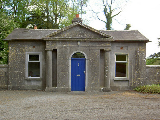 Mooresfort Housegate lodge · 878 yd
 Enclosure in Kilross (clonbeg Par.)Enclosure · 1722 yd
 CastleCastle, ringwork · 1.1 mi
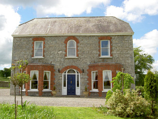 Saint Joseph'shouse · 1.1 mi
 Enclosure in MooresfortEnclosure · 1.4 mi
 MoatCastle, motte · 1.8 mi
 SlievenamuckMountain / peak · 2.2 mi
 Carn (site of)Cairn, burial cairn · 2.8 mi
 Duntryleague HillMountain / peak · 3.1 mi
 Darby's Bed Walk LoopWalking route · 3.1 mi
 Bansha ForestForest · 3.3 mi
 Giant's Rock - Rock of AglaishNamed rock · 4.8 mi