What is recorded here
In 2004 this barrow was described as following; 'This site, a low mound, is located on level ground to the south of the ringwork [LI032-131----]. It is 14m in diameter, encircled by
a shallow ditch' (Condit and Coyne 2004).
Compiled by: Caimin O'Brien
Date of upload: 07 August 2019
See attached ASI aerial photograph ASIAP - 303/26 date taken 13/09/2002.
The monument record does not grant public access. Check the route and ask the landowner before entering private land.
- What survives
- Recorded monument
Places near here
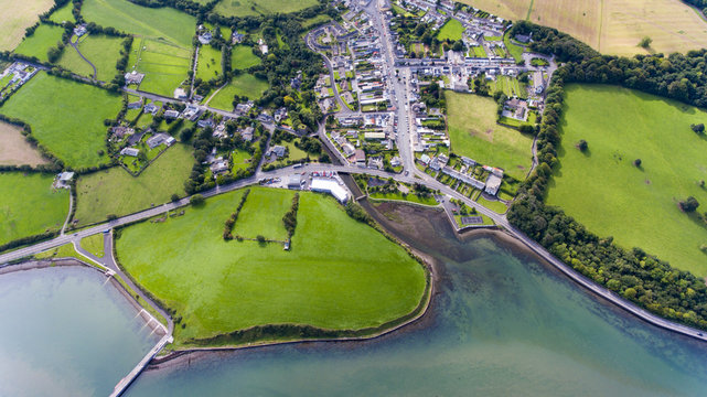 Field system in KilballyowenField system · 385 yd
 BarrowBarrow, ditch barrow · 656 yd
 KnockainyMountain / peak · 968 yd
 Kilballyowen HouseCastle, unclassified · 1358 yd
 Old Parochial Housepresbytery/parochial/curate's house · 1510 yd
 Knockainy Castle (in ruins)Castle, tower house · 1568 yd
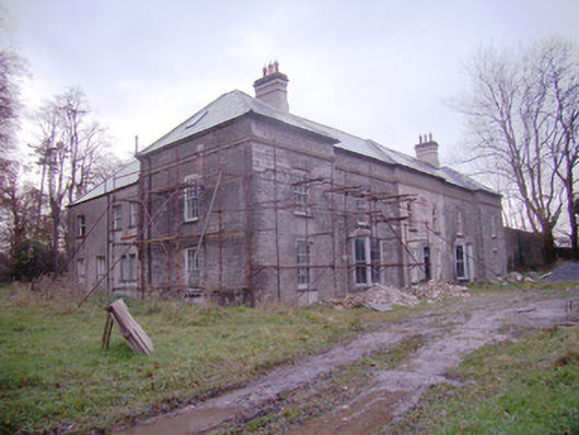 Baggotstown Housecountry house · 1573 yd
 Glen BogForest · 1.2 mi
 Flat cemetery in Knockainy WestFlat cemetery · 1.5 mi
 Kilteely HillMountain / peak · 4.6 mi
 St Patrick's WellSpring · 4.9 mi
 St. Patrick's WellSpring · 5.0 mi