What is recorded here
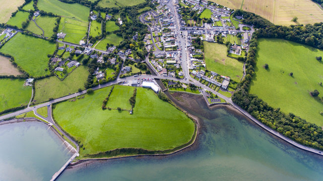
On a gentle NW-facing slope, in improved pasture, on former deer park of Kilballyowen House located 140m W of a townland boundary with Knockainy West. Cashel (LI032-127----) lies 20m to E, enclosure (LI032-023002-) 55m to NE, earthwork (LI032-130----) 95m to ESE and enclosure (LI032-230004-) 130m to E. Not depicted on OSi historic maps. Monument identified by the Bruff aerial photographic survey in 1986 (Bruff 251: AP 5/2053) as a subrectangular-shaped area containing a series of linear-shaped cropmarks intersecting at various angles and which form a distinct triangular-shaped cropmark in the centre of the field system. Monument is visible as a subrectangular-shaped area (9.4 acres/3.8ha) containing a series of linear-shaped cropmarks intersecting at various angles and which form a distinct triangular-shaped cropmark in the centre of the field system as seen on OSi orthoimage taken 2005-2012, on Digital Globe orthoimage taken 2011-2013 and on Google Earth orthoimage taken 20/09/2020.
See attached Google Earth orthoimage and Bruff aerial survey image labelled 251
Compiled by: Alison McQueen and Vera Rahilly
Date of upload: 16 November 2020
The monument record does not grant public access. Check the route and ask the landowner before entering private land.
- What survives
- Recorded monument
Places near here
 BarrowBarrow, ditch barrow · 913 yd
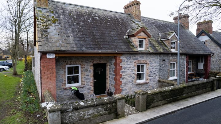 Enclosure in BaggotstownEnclosure · 1015 yd
 Kilballyowen HouseCastle, unclassified · 1029 yd
 KnockainyMountain / peak · 1293 yd
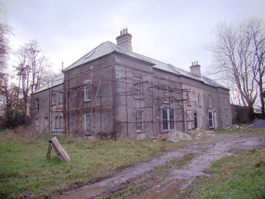 Baggotstown Housecountry house · 1535 yd
 Glen BogForest · 1722 yd
 Old Parochial Housepresbytery/parochial/curate's house · 1732 yd
 Knockainy Castle (in ruins)Castle, tower house · 1.1 mi
 Flat cemetery in Knockainy WestFlat cemetery · 1.7 mi
 Kilteely HillMountain / peak · 4.7 mi
 St Patrick's WellSpring · 5.1 mi
 St. Patrick's WellSpring · 5.1 mi
Other information
Photo: Credit not shown in the picture search · Rights wording not checked; contact us if this picture should be removed