
What is recorded here
Indicated is a fairy fort carved into a narrow Longford ridge, its thirty-eight-metre circle marked by an irregular scarp and hidden entrance. Large boulders still protrude through the eastern soil like broken teeth, waiting for people brave enough to walk past them. The shallow fosse at the edge suggests human hands shaped the ridge before forgetting its own name.
Straddling a low, narrow E-W ridge in pasture. This circular area (diam. c. 38m) is carved out of the ridge and is defined by an irregular scarp (H 0.5-2m). At the base of the scarp at ESE are traces of a shallow external fosse (Wth 3m; D 0.15m). The original entrance is not recognisable. Large boulders protrude from the ground in the E half of the interior.
Compiled by: Patrick F. O'Donovan
Date of upload: 16 January 2012
The monument record does not grant public access. Check the route and ask the landowner before entering private land.
- What survives
- Recorded monument
Places near here
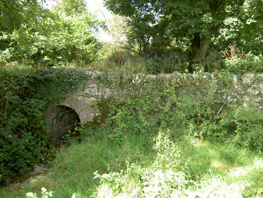 bridgebridge · 317 yd
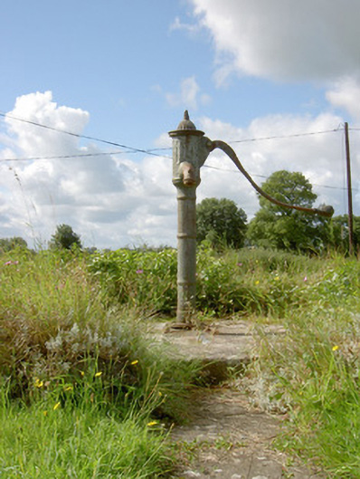 water pumpwater pump · 939 yd
 Indicated FortFairy fort / earthen ringfort · 1515 yd
 Field system in Deerpark (shrule By.)Field system · 1733 yd
 Not locatedCastle, unclassified · 1.3 mi
 European BeechEuropean Beech · 1.3 mi
 CastleCastle, motte · 1.5 mi
 Common LimeCommon Lime · 2.1 mi
 Abbeyshrule AbbeyRuins · 2.2 mi
 Goldsmith Birthplace, PallasVisitor information · 2.9 mi
 Newcastle WoodsForest · 3.3 mi
 Guest ServicesVisitor information · 3.7 mi
Other information
Photo: Credit not shown in the picture search · Rights wording not checked; contact us if this picture should be removed