
What is recorded here
Half-buried in the SW corner of the Kiltullagh North graveyard, a smooth stone bowl faces east, its rough hewn base lost in soil. It likely came from the abandoned church to the NE, carrying water for baptism before becoming a grave marker. The font still holds shape, though its purpose has shifted from life to death.
In the SW section of a graveyard (GA097-114001-). This font (H 0.37m; Wth 0.43m; T 0.28m) is embedded in the soil with the bowl (diam. 0.29m; D 0.06m) facing E. It is being used as a grave-marker. Its surface is smooth but the base is roughly hewn. It is likely to have come from the church (GA097-114----) that lies to the NE.
Compiled by: Olive Alcock
Date of upload: 11 March 2020
The following images have been uploaded:
GA097-114002-_02.jpg View from E
GA097-114003-_03.jpg View from W
The monument record does not grant public access. Check the route and ask the landowner before entering private land.
- What survives
- Recorded monument
Places near here
 Kiltullagh Housecountry house · 152 yd
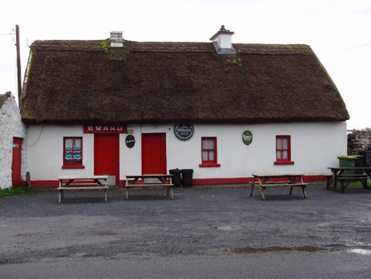 B. Wardhouse · 483 yd
 IndicatedHoly well · 838 yd
 Field system in ClogharevaunField system · 1676 yd
 Castle (in ruins)Castle, tower house · 1.1 mi
 MoteCastle, motte and bailey · 1.5 mi
 Moyard WoodWood · 2.9 mi
 Turoe StoneHeritage attraction · 3.8 mi
 Athenry AbbeyHeritage attraction · 4.4 mi
 Horse-chestnutHorse-chestnut · 4.7 mi
 First Battle of Athenrybattle · 4.9 mi
 Barrack IslandIslet · 6.3 mi
Other information
Photo: Credit not shown in the picture search · Rights wording not checked; contact us if this picture should be removed