What is recorded here
Church (Site of) is a church in Kilpatrick (moyashel & Magheradernon By.), County Westmeath, Ireland. The levelled site sits on a gentle southwest-facing slope that falls toward a small stream, with Kilpatrick House located approximately 145 metres due east. It is annotated as the church site on the revised 1913 edition of the Ordnance Survey twenty-five-inch map and lies within an ecclesiastical enclosure. Although no surface remains are visible, three low humps at the location may represent the grass-covered wall footings of the levelled church.
Situated on a gentle SW-facing slope, which falls toward a small stream. Kilpatrick House lies c. 145m due E. Annotated ‘Church (Site of)’ on the revised 1913 ed. OS 25-inch map. Within ecclesiastical enclosure (WM025-028002-). Levelled church site described as no surface remains visible. There are three low humps at this location which may represent the grass-covered wall footings of a levelled church. Adams (1960, 33) refers to the ruins of the old chapel of Kilpatrick, near which is a well. Church site is not visible on Digital Globe aerial photography.
See attached plan and profile of monument surveyed and drawn by the ASI.
Compiled by Alison McQueen, Vera Rahilly and Caimin O’Brien.
Date of upload: 05 September 2019
The monument record does not grant public access. Check the route and ask the landowner before entering private land.
- What survives
- Recorded monument
Places near here
 Ecclesiastical enclosure in Kilpatrick (moyashel & Magheradernon By.)Ecclesiastical enclosure · 12 yd
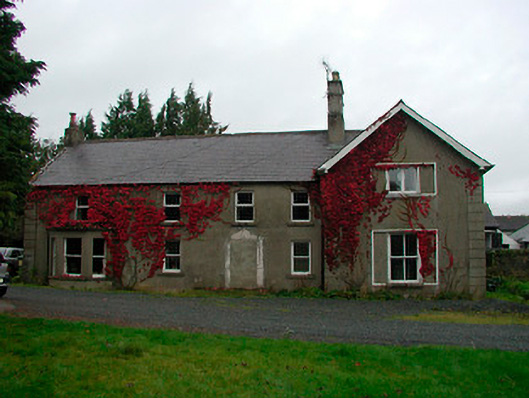 Kilpatrick Househouse · 171 yd
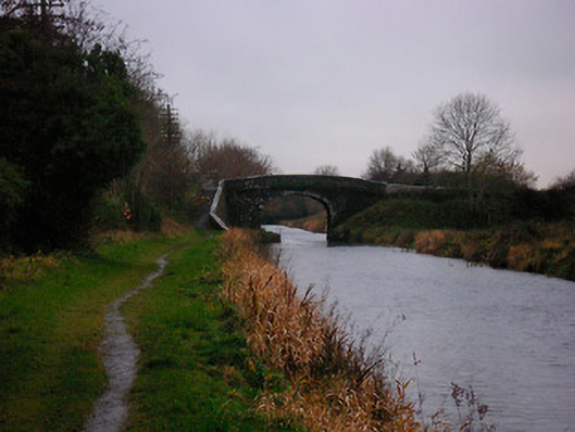 Bellmount Bridgebridge · 775 yd
 OutlinedBawn · 1456 yd
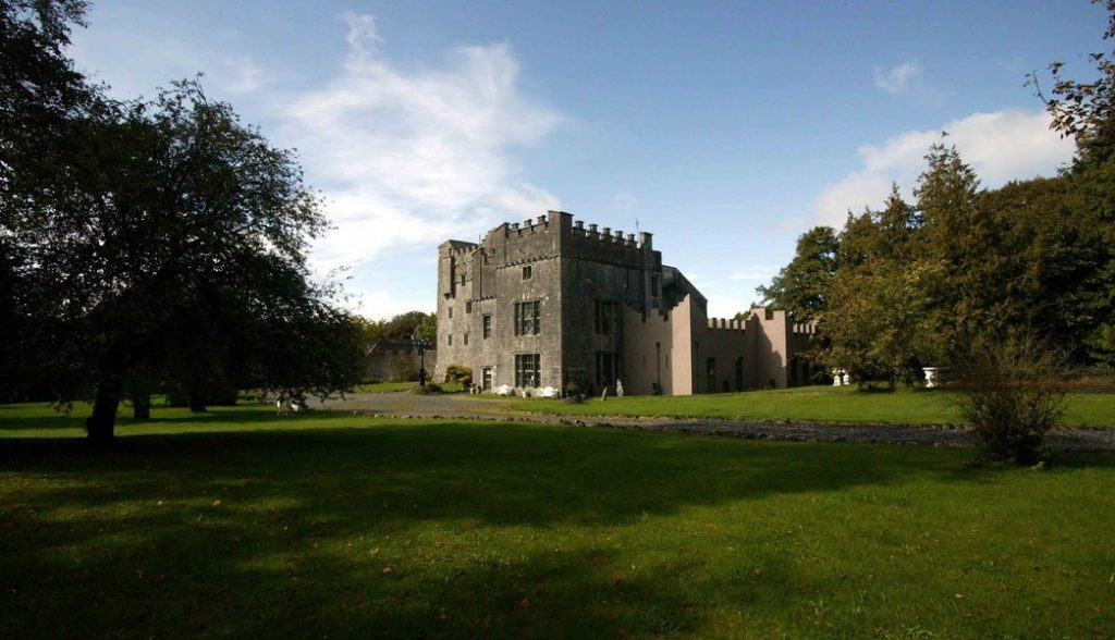 Castle (in Ruins)Castle, tower house · 1494 yd
 Partially hachuredFairy fort / earthen ringfort · 1508 yd
 Ash IslandIslet · 2.4 mi
 Dysart IslandIsland · 2.7 mi
 WestmeathVisitor information · 3.6 mi
 Ancient Ring FortWood · 3.8 mi
 Lady's IslandWood · 3.9 mi
 Kilmalady HillMountain / peak · 12 mi