What is recorded here
Situated on a steep NE-facing slope. Referred to in the Civil Survey 1654-6 as 'a standing church ' (Simington 1934, vol. 2, 237). A poorly preserved rectangular church (TN027-071001) in the NW sector of a graveyard. The church was built into the hillslope, dropping down on the N side. According to the OS Letters (O'Flanagan 1930, vol. 1, 191) there was a doorway in the W end of the N wall, constructed of 'chiselled limestone'.
Compiled by: Caimin O'Brien.
Date of upload: 22 September 2008
A ruined rectangular church, likely medieval in date, situated within a graveyard. Its mention in the 17th-century Civil Survey indicates historical continuity of religious use in the area.
The monument record does not grant public access. Check the route and ask the landowner before entering private land.
- What survives
- Recorded monument
Places near here
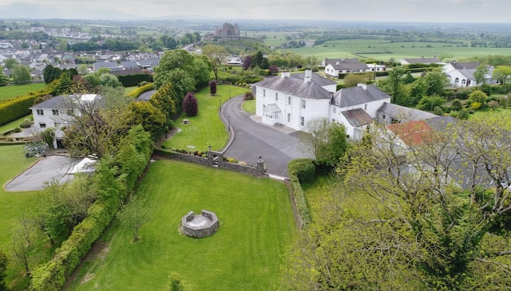 Enclosure in KilnaneaveEnclosure · 826 yd
 LisnarahaCastle, ringwork · 845 yd
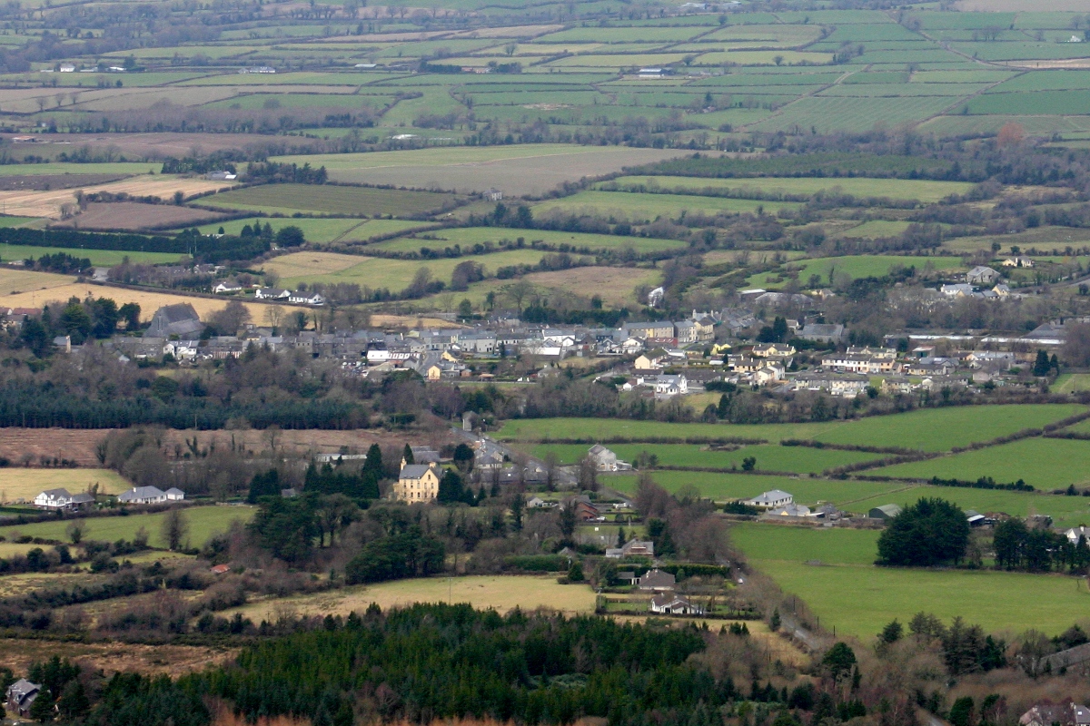 CastleCastle, unclassified · 905 yd
 IndicatedFairy fort / earthen ringfort · 1225 yd
 All Saints Catholic Churchchurch/chapel · 1538 yd
 The Old Rectoryrectory/glebe/vicarage/curate's house · 1.3 mi
 Knockadigeen HillMountain / peak · 1.5 mi
 Ballincurra HillMountain / peak · 1.6 mi
 Killavalla WoodForest · 2.3 mi
 Sweet ChestnutSweet Chestnut · 3.6 mi
 Silvermines ViewpointViewpoint · 4.4 mi
 Our Lady Assumed into HeavenMemorial · 4.6 mi