What is recorded here
First recorded on http://www.prehistoricwaterford.com/. Situated on a plateau at the SW foot of a hill, the summit of which is c. 800m to the NE. A N-S stream curves around the location c. 300m to the N, W and SW before joining the W-E Mahon River c. 2.5km to the S. This is an Old Red Sandstone conglomerate with a rectangular cross-section (dims. c. 0.7m x 0.35-0.4m; H 1.25m) oriented ENE-WSW. The top had been broken off in antiquity, and the angles chipped away c. 0.6m above the ground, giving it a 'waisted' appearance. When this attempt to destory it failed, some incised lines like ogham lettering were added to the SE angle. Standing stone (WA015-113----) is c. 400m to the NE.
Compiled by: Michael Moore
Date of upload: 30 January, 2012
Likely dating to the Neolithic or Bronze Age, the standing stone may have functioned as a territorial marker, ceremonial focus, or astronomical alignment point. No specific folklore or detailed use is recorded for this site.
The monument record does not grant public access. Check the route and ask the landowner before entering private land.
- What survives
- Recorded monument
Places near here
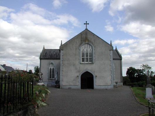 Saint Anne's Catholic ChurchOfficially recorded historic building · 695 yd
 Holy WellHoly well · 794 yd
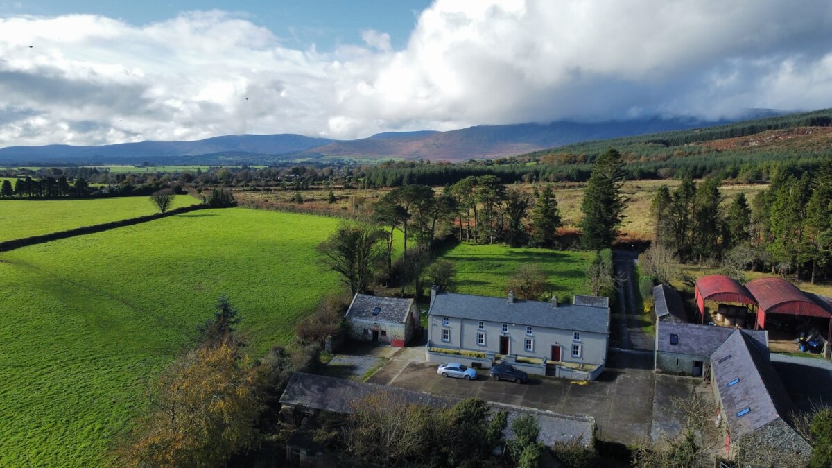 Embanked enclosureFairy fort / earthen ringfort · 1581 yd
 Church in KilcanaveeChurch · 1.4 mi
 Croughaun HillMountain / peak · 1.6 mi
 Castle (in ruins)Castle, unclassified · 1.7 mi
 Site of Cas.Castle, unclassified · 1.8 mi
 8 Arch GalleryGallery · 1.8 mi
 Kilclooney WoodForest · 2.3 mi
 Crough WoodWood · 2.9 mi
 Magic Road (finish)Heritage attraction · 3.5 mi
 LackaduffMountain / peak · 3.6 mi